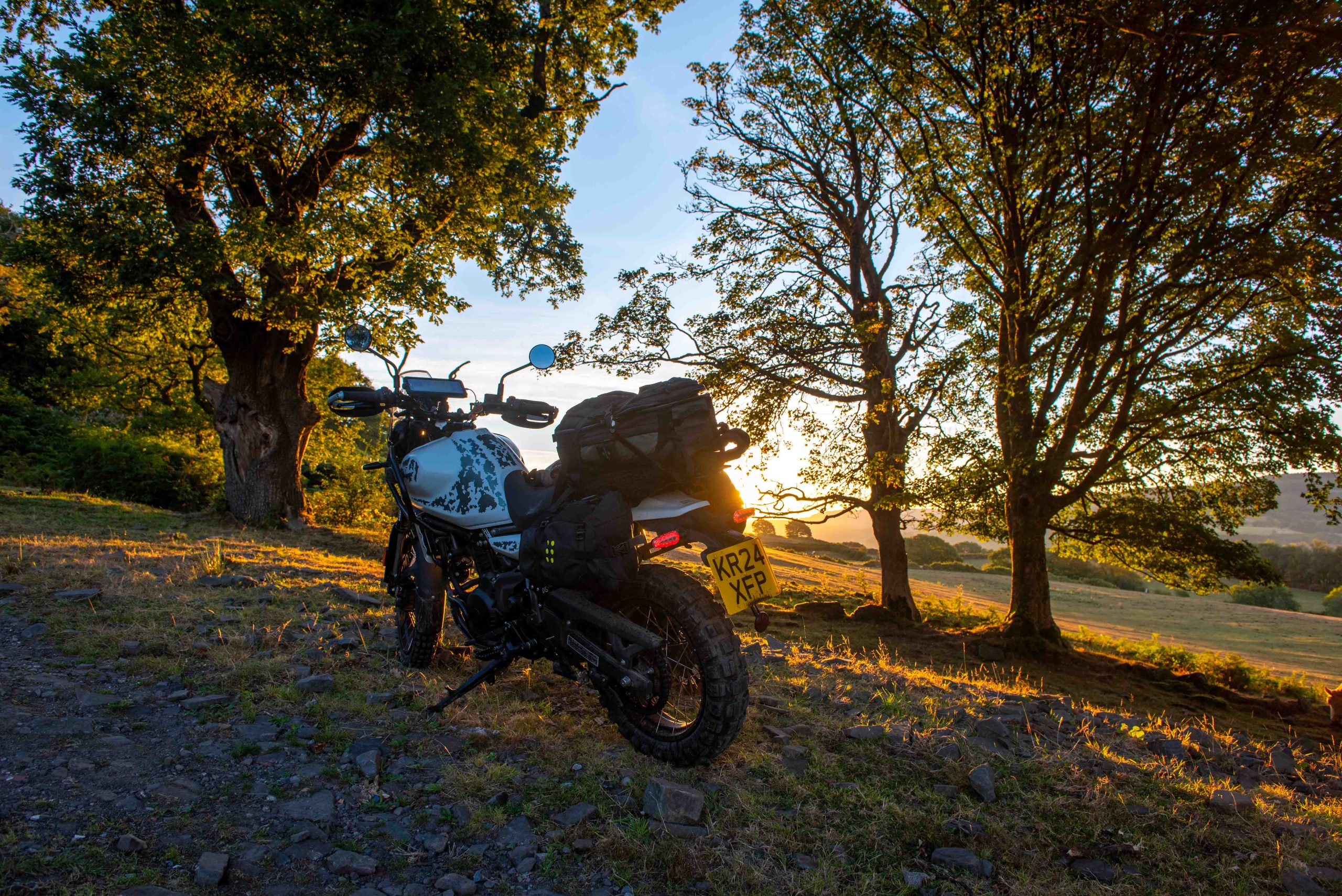
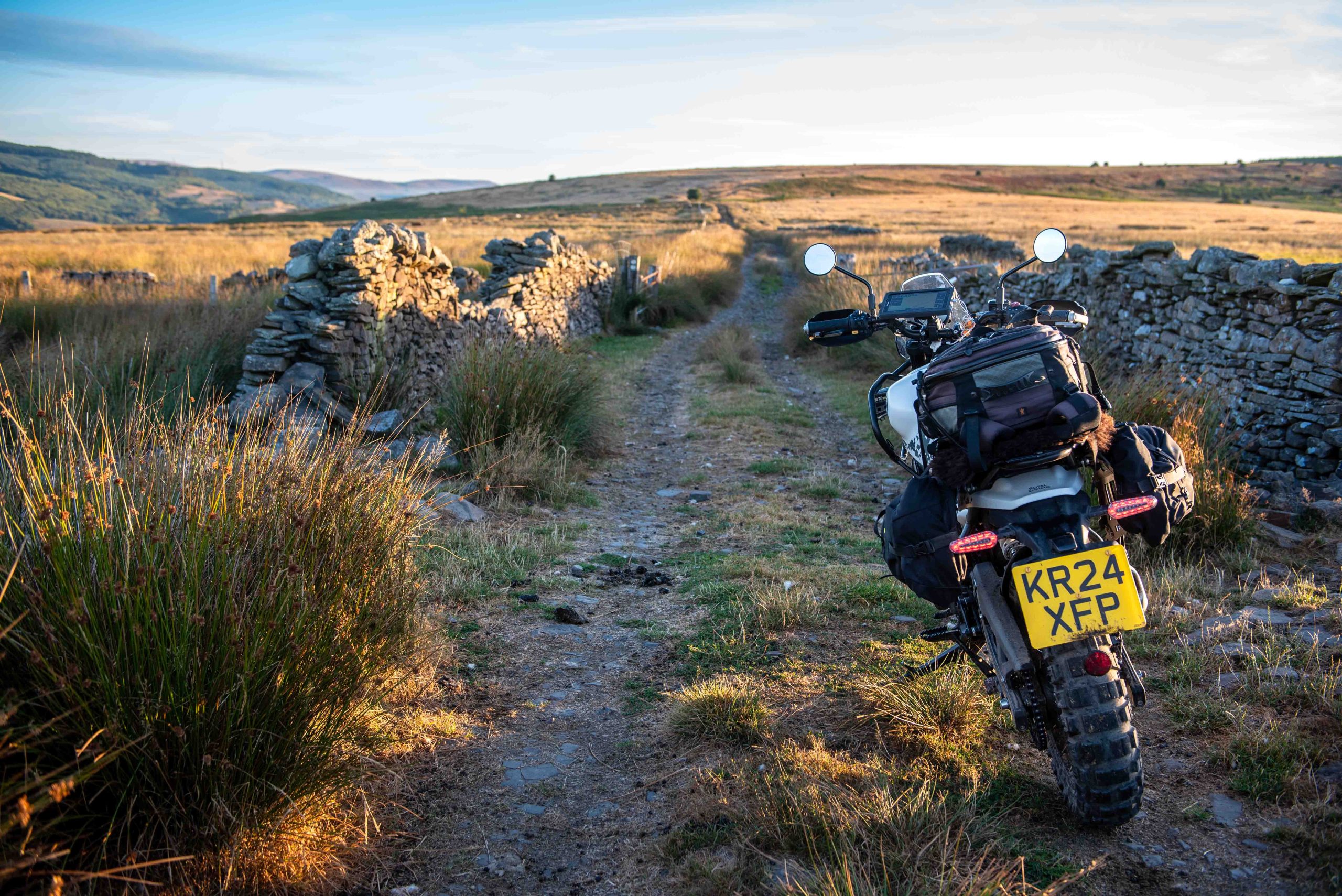
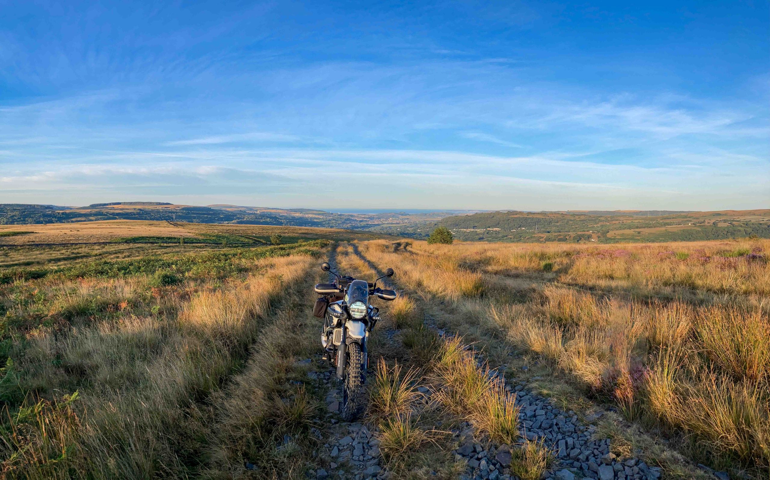
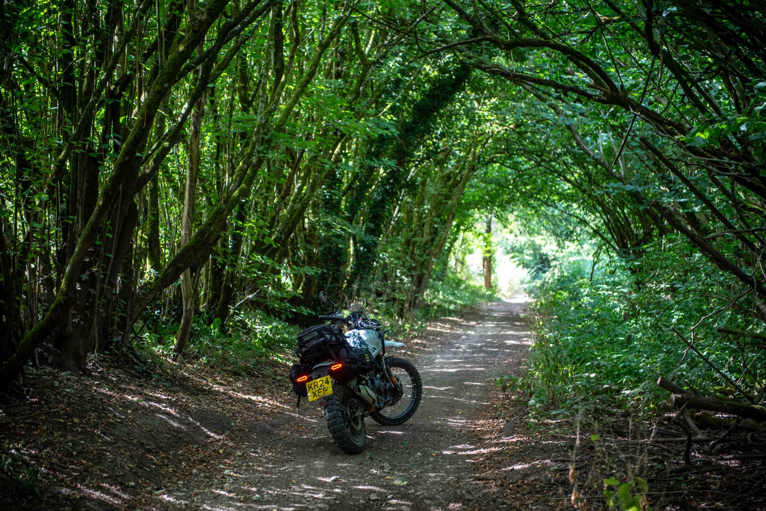
A nod to Supertramp there. Given a day to ride home to Kent from Wales, rather than slug it out on the motorways, Trail editor Jon Bentman took a 380-mile traverse of half a dozen historic green roads? A chance to slow down and connect with the countryside. And demonstrate an adventure into nature is where you care to find it, green roads ridden the right way give you that
You have to take your opportunities where you find them. And since finding time to ride more than an afternoon loop from home are few and far between then a two-day mission with BMW Off Road Skills in South Wales threw up two such opportunities – the there and then back again. The ‘there’ ride naturally got burned by a late departure and an agreeable side-mission to meet the members of South Wales TRF on their club night just outside Newport. But the back ride had a whole day devoted to it, so a chance to do something special.
Such as it was that I woke at 5am in a Bed and no Breakfast (given my early start) in Pontadawe. The long termer Royal Enfield Himalayan 450 had made easy work of the motorway ride down to Wales, but now it had a tougher task: 380 miles and six specific long-distance green lanes in the one day (hence the early start).
Sarn Helen
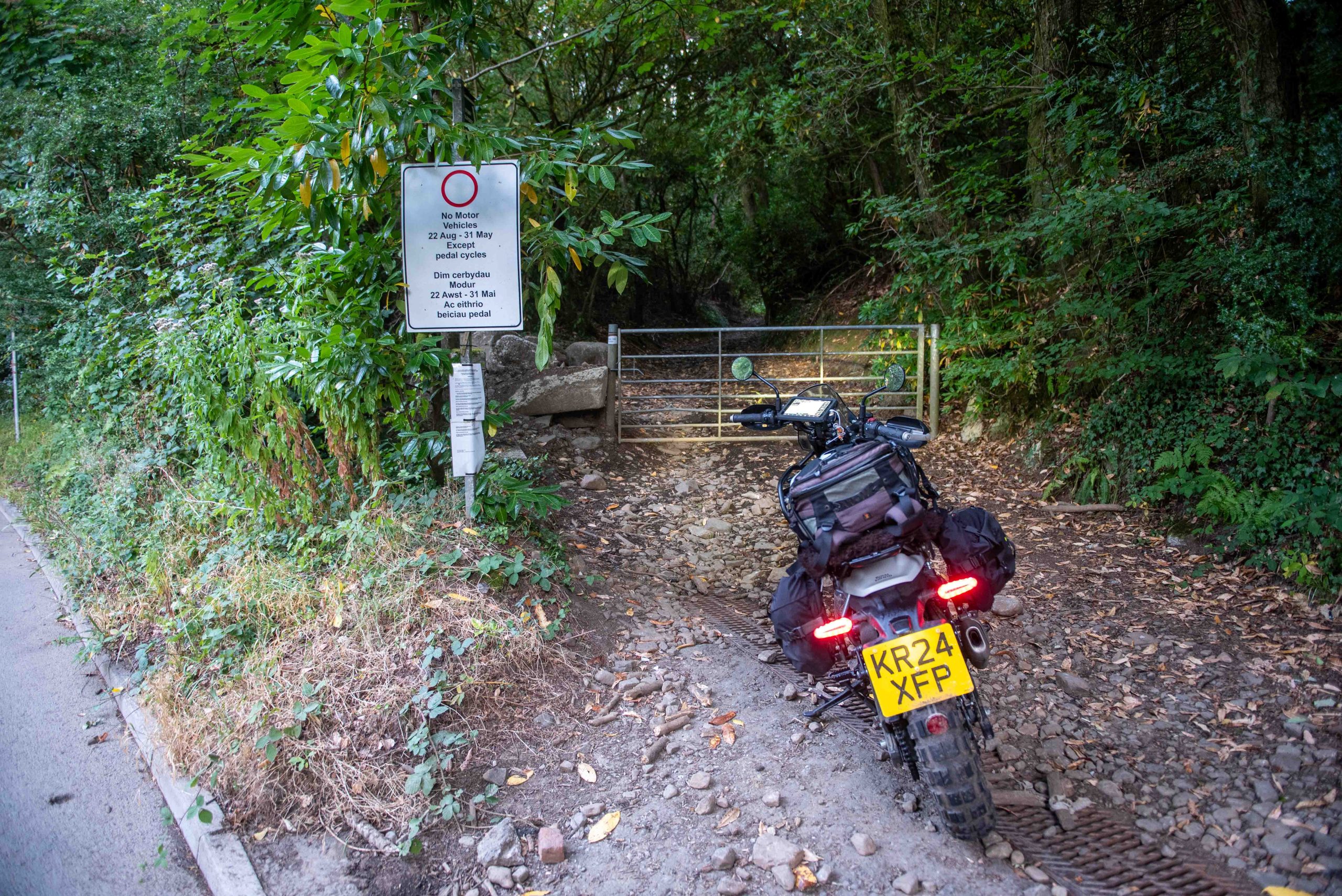
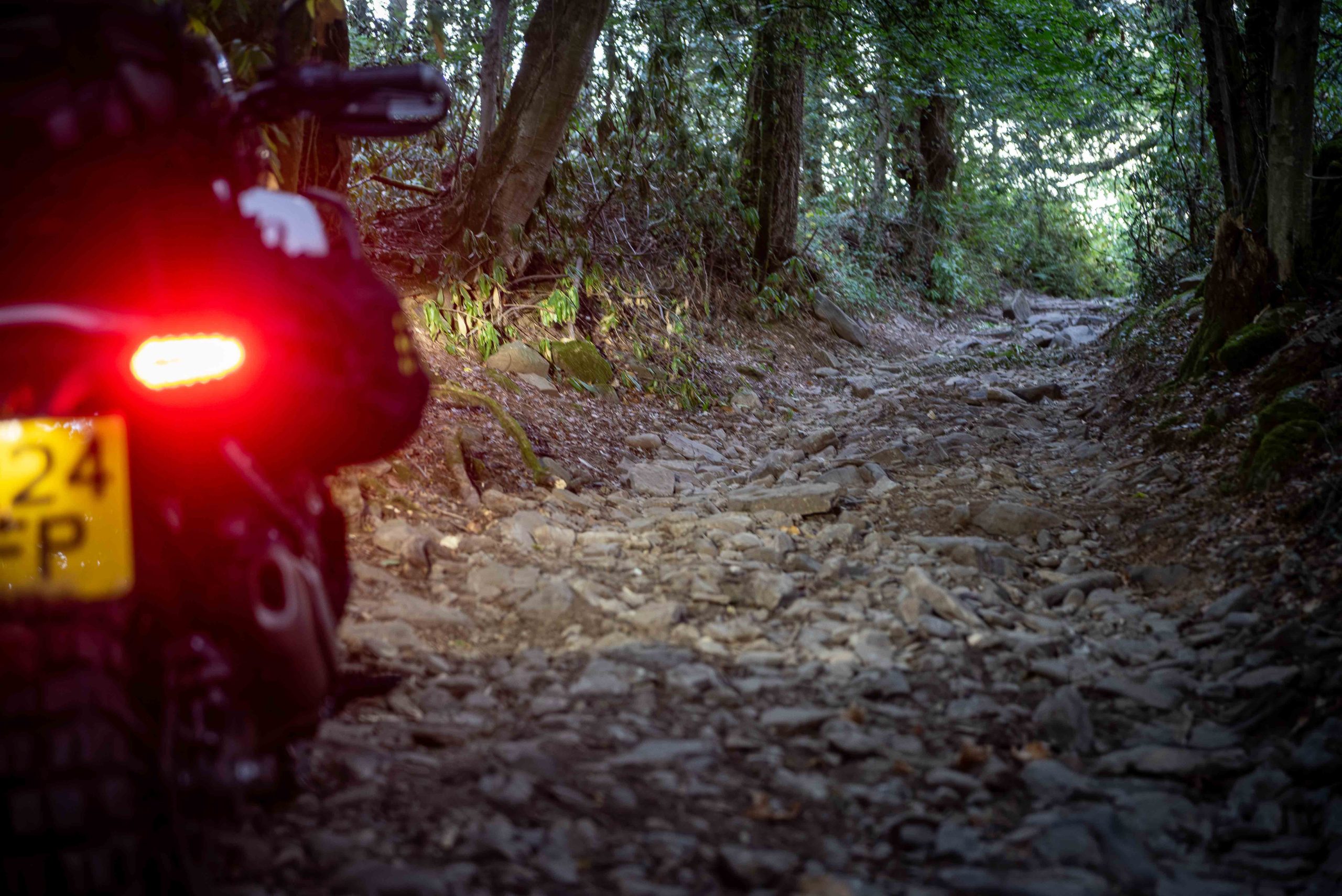
Within 20 minutes we were at lane number one: Sarn Helen, starting at the south end just above Neath. With a seasonal TRO starting August 22 this was for me a last chance to ride it this season – and for the first time. Not a beginner route by any means, and at not-yet 6am I was keen not to make any mistakes as help would mostly still be in bed, if needed. There were then, I discovered, three technical rocky hill climbs before reaching something of a plateau, albeit one that kept rising. Having started at 40m above sea level at the gate to the track, it would keep rising to around 480m at its highest. Those three climbs weren’t easy, one in the woods, two that followed in more open ground only running directly into the rising sun, so practically ridden blind. On standard sprockets the Himi’s gearing is a bit tall for technical riding so second gear was out and even in first there were moments needing clutch slip. But the Himi has good natural balance, with lowish footpegs that give it a decent stance. Still, the trail action was enough to get the blood pumping and the Rev’it Component 3 jacket zip open despite the morning chill.
It's not yet 6am but the Himalayan is at the southern gate into Sarn Helen – and ahead of the August 22 seasonal TRO start
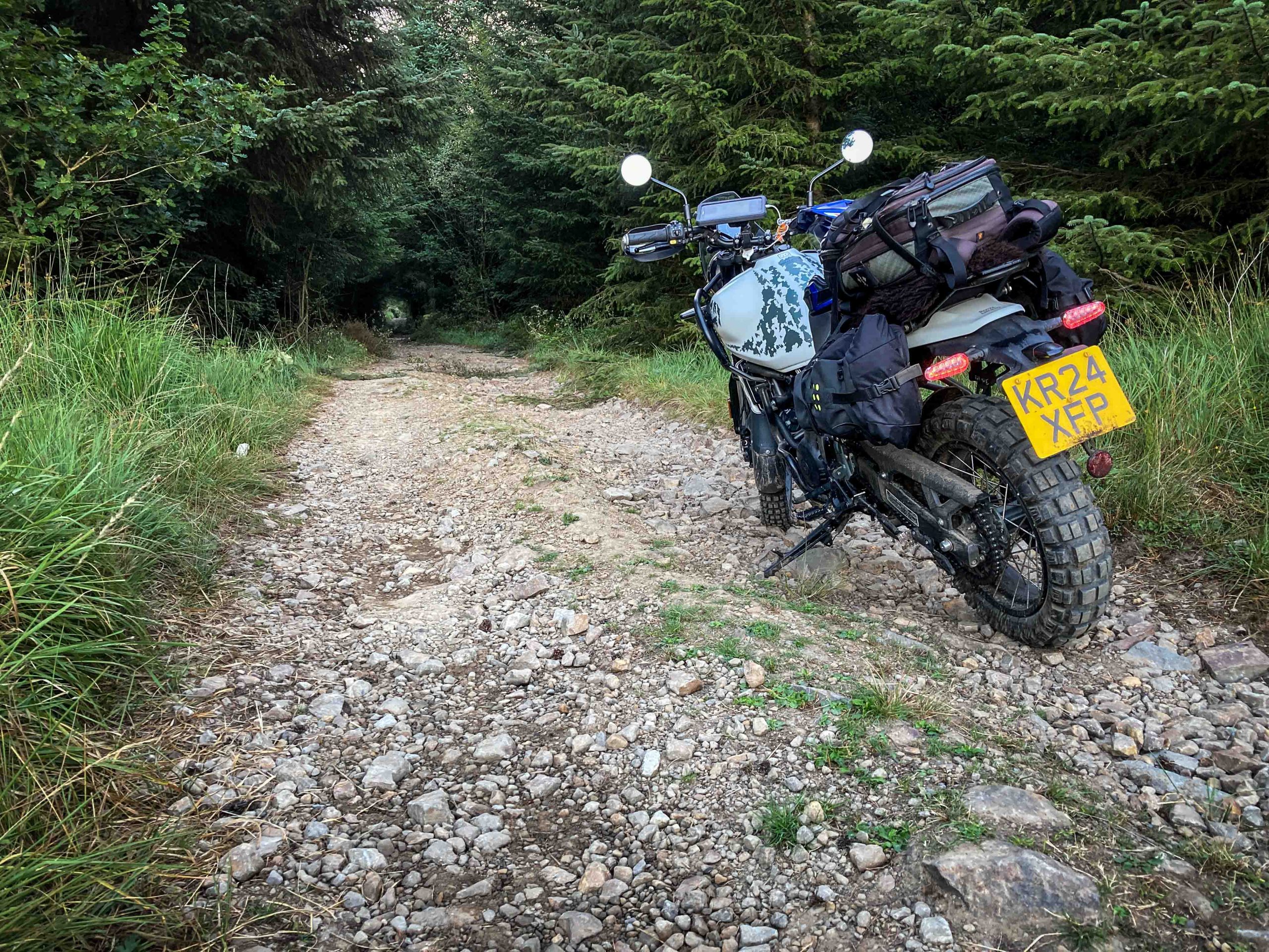
It's typical that this doesn't look much, but the first challenge was to ride this rocky climb in the woods. Mildly testing, but not serious
Part-broken cattle grid at the top of the climb might catch the odd sleepy rider, but not this one on this day
The reward, sunride over the Brecon Beacons
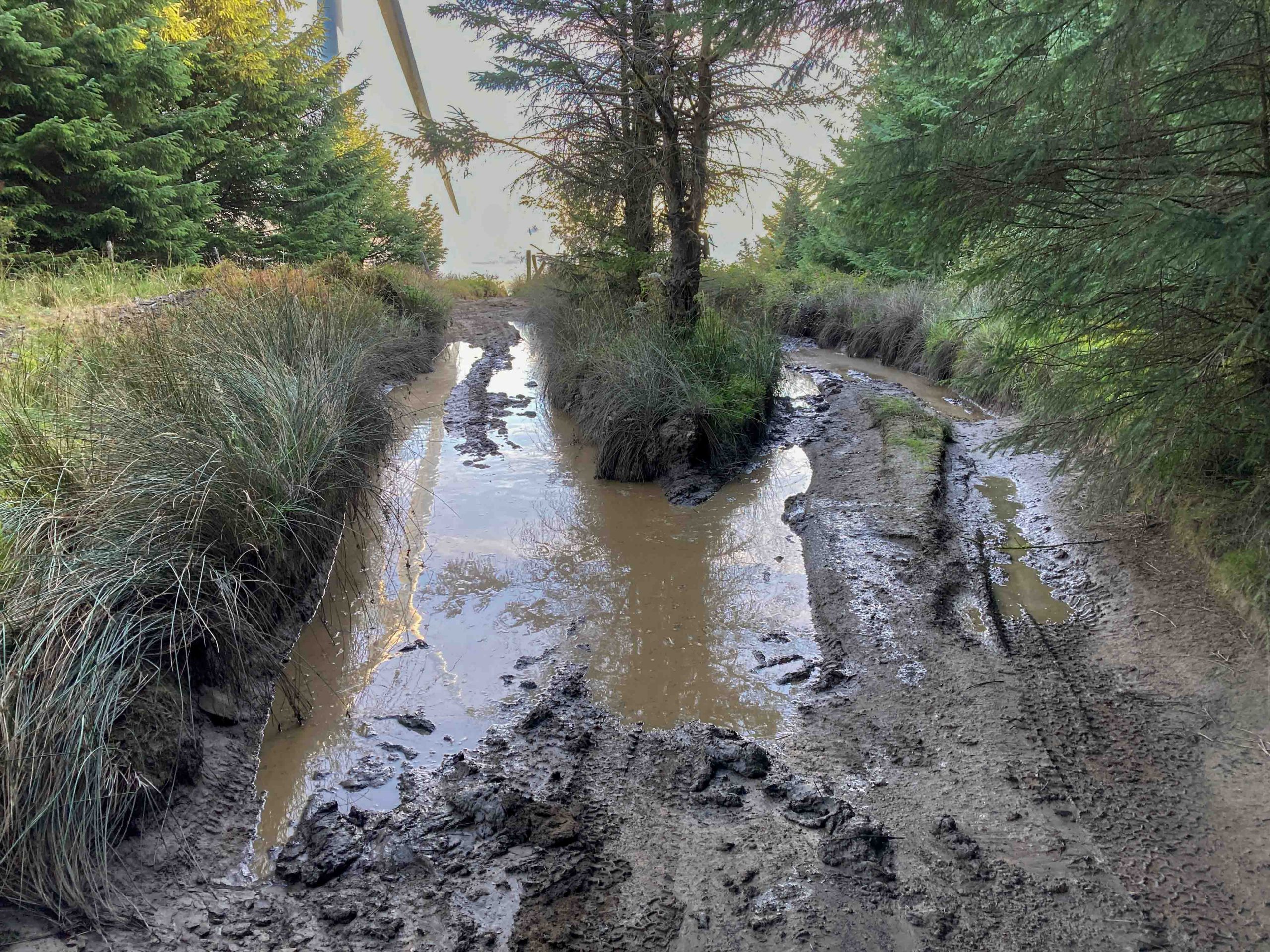
Another cheeky rock climb at two-thirds distance also tests your mettle, involving as it does a serious rock slab with binary outcome – you either made it or you didn’t, and you really didn’t want to not make it. Meanwhile the road builders seem to have been in action adding new stone to long sections of this ancient road, lovely big stones too, that made steering a wrestle. The payback was the vast views all round. Then some lovely forest riding, the Himi loving the crisp morning air. Just before the end, a nasty mud bog presented itself, I poked a stick in gingerly to check depth. Not one line looked good, but then I noticed the kind road builders had packed a stone two-track option on high ground above the bog. So avoidance without any further soil damage. Nice.
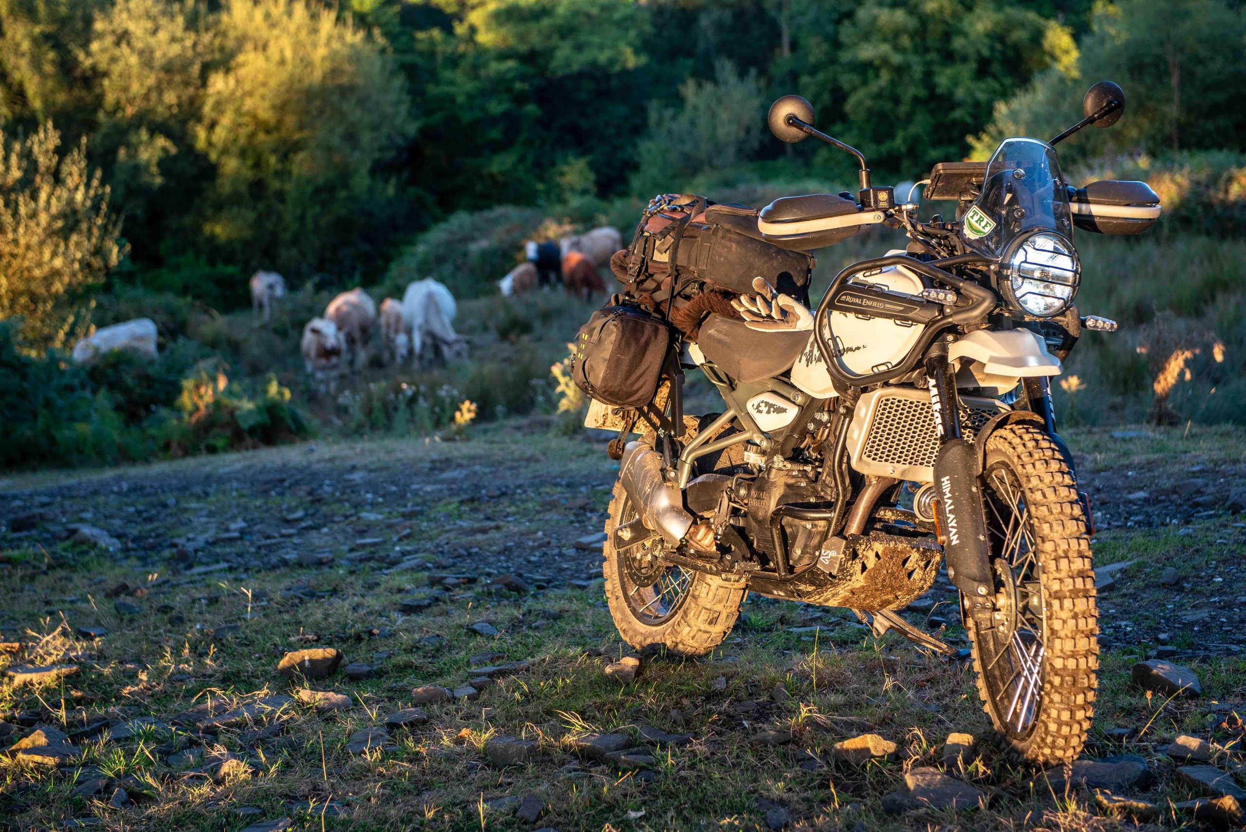
The cows were too busy with breakfast to be worried about the Himi
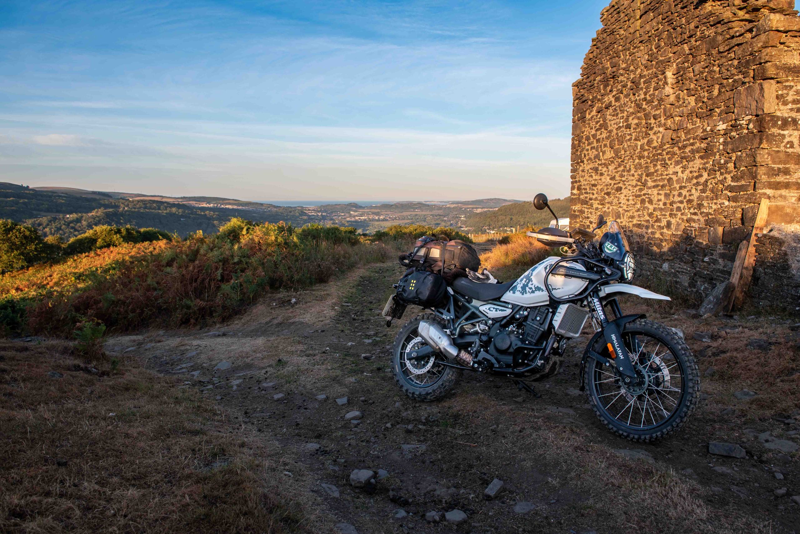
Top of the third rocky climb, probably the most testing (especially with sun in your eyes) – and a great view down to the Bristol Channel
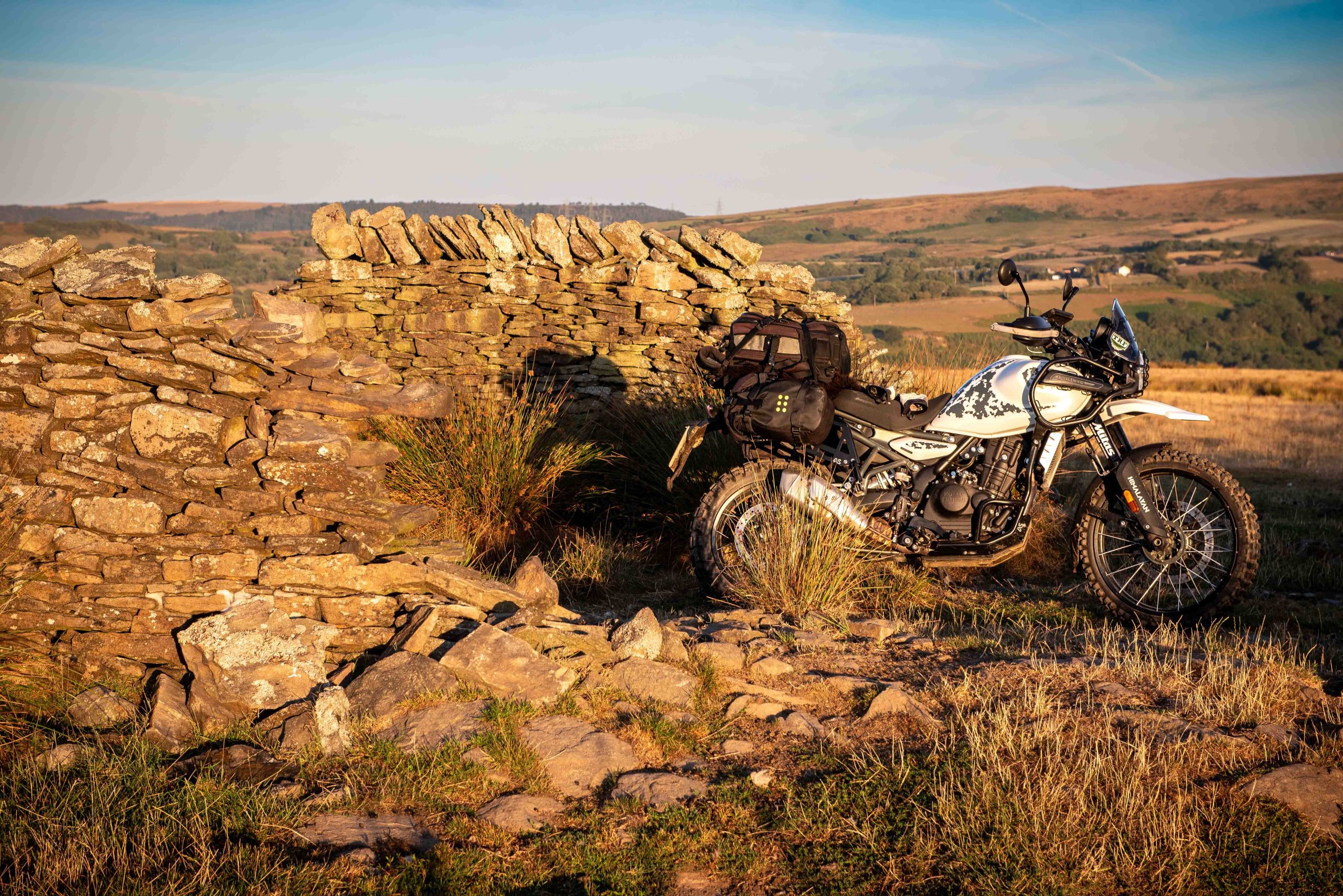
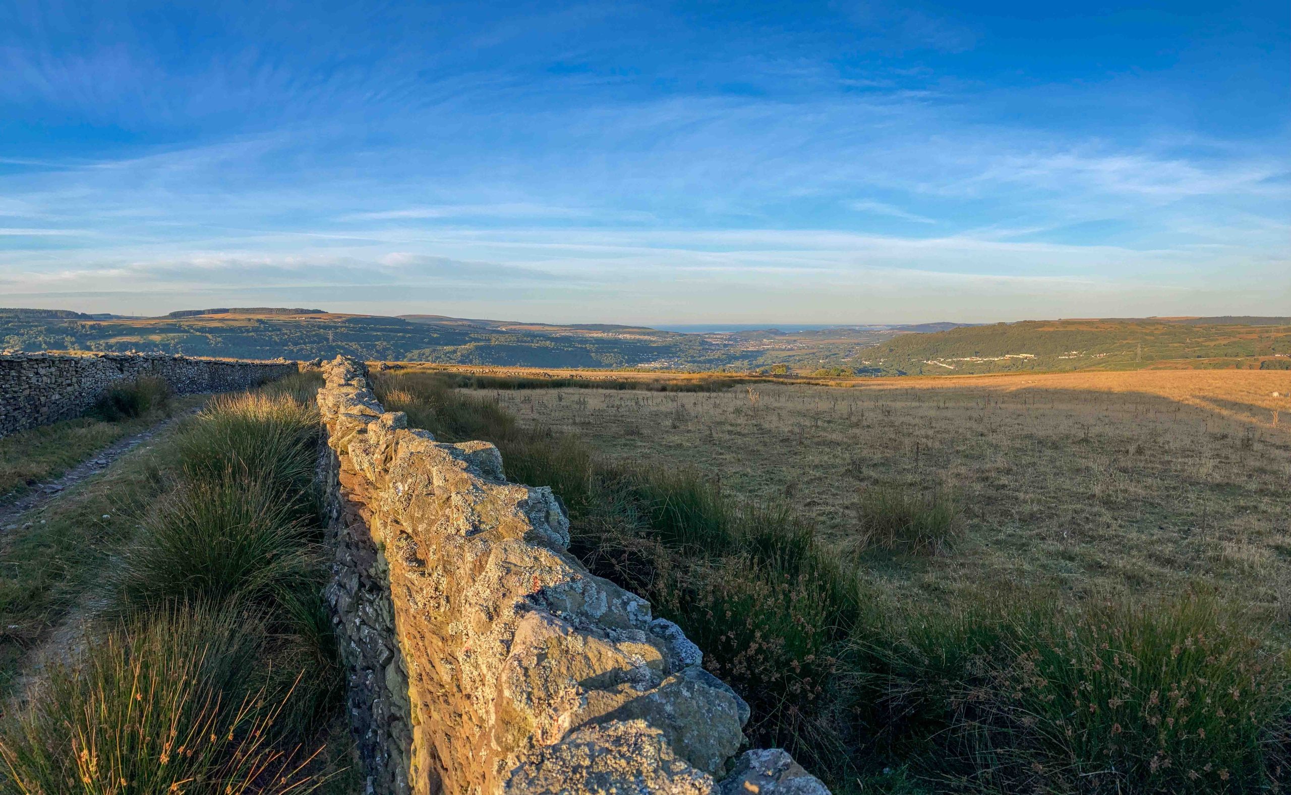
Dry stone walling not in the best condition but it would seem its purpose is left in the past, so it slowly degrades
Heading north, the old road is rock based and gradually climbs, Sarn Helen starts at 40m and peaks at 480m above sea level
Morning skies, and none here but the sheep, cattle and birds
Looking south again, Neath and the Bristol Channel in the distance
Couldn't get enough of the solitude up here. But then (next shot) it's back into the forest again
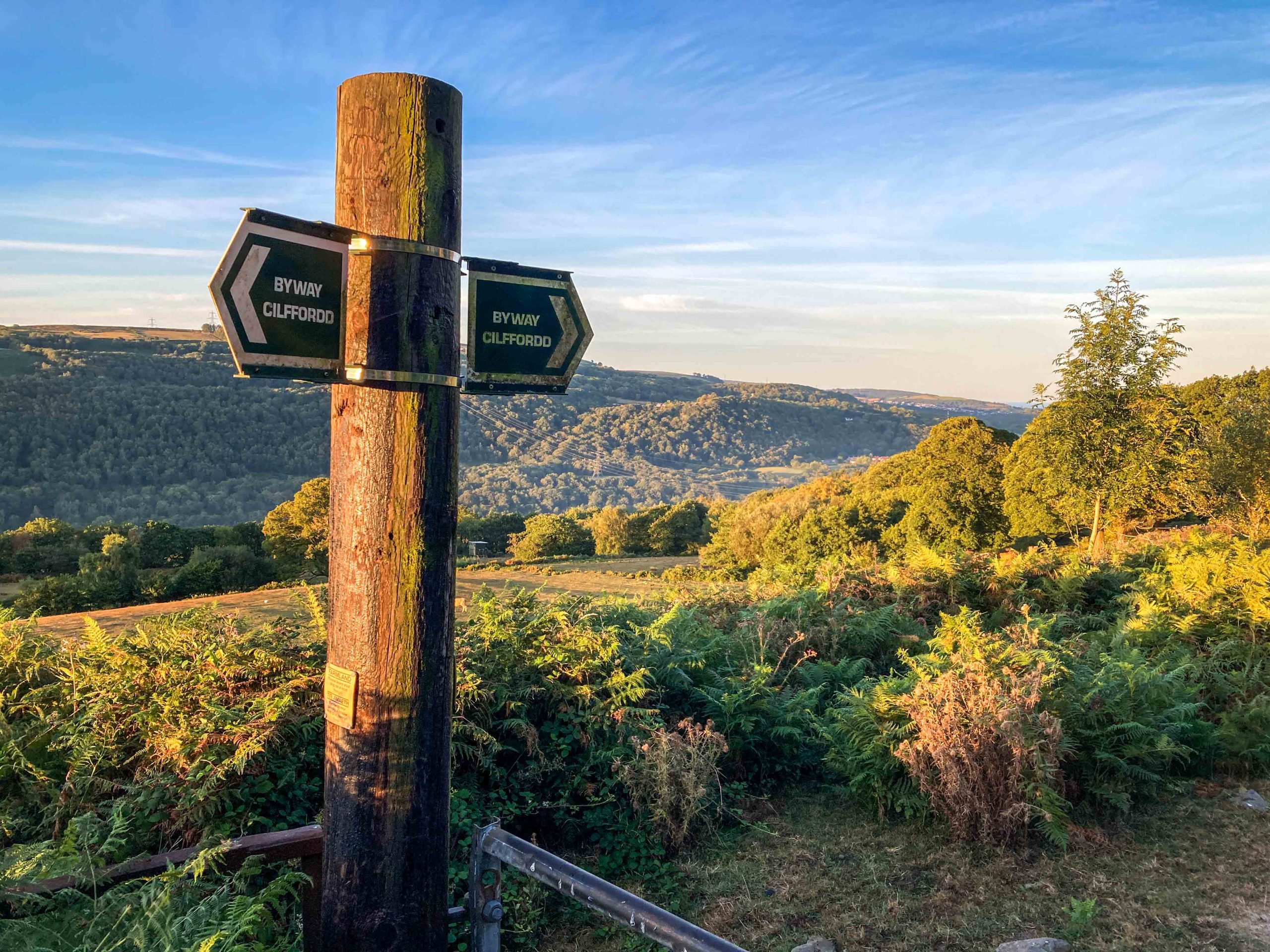
Who is this Cliffordd guy? Joking aside, this route is probably not for beginners...!
The sting in the tail. Muddy, boggy 4x4 wallow hole, but in fact just to the left is an improved track that keeps your tyres clean and dry
Fosse Way
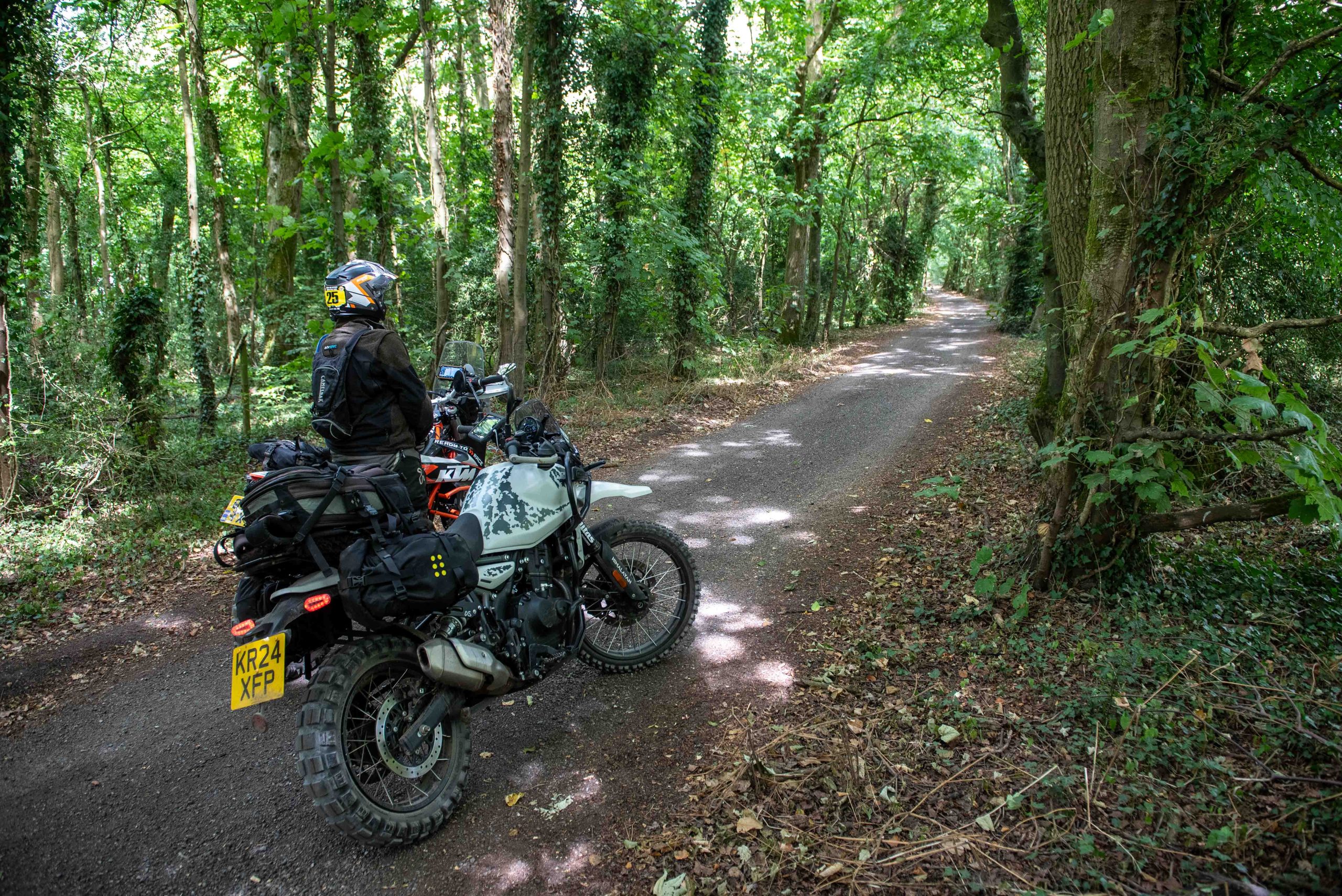
The Himi was then back on the blacktop, making our way east, through Monmouthshire, the stunning Forest of Dean and unfortunately through the traffic clogged roads of Gloucester and Stroud before reaching the north end of the Fosse Way. And what a track, just beautiful! No severe technicality this time, just an arrow-straight track running south-west through Gloucestershire into Wiltshire. This one was taken in full-noodle mode as the gentle scenery revealed itself in the breaks in the hedgerows, every now and again diving through a wood, past a former wartime airfield, through a ford and under the M4. I reached the far end having not met a single other trail rider, but a handful of walkers and runners.
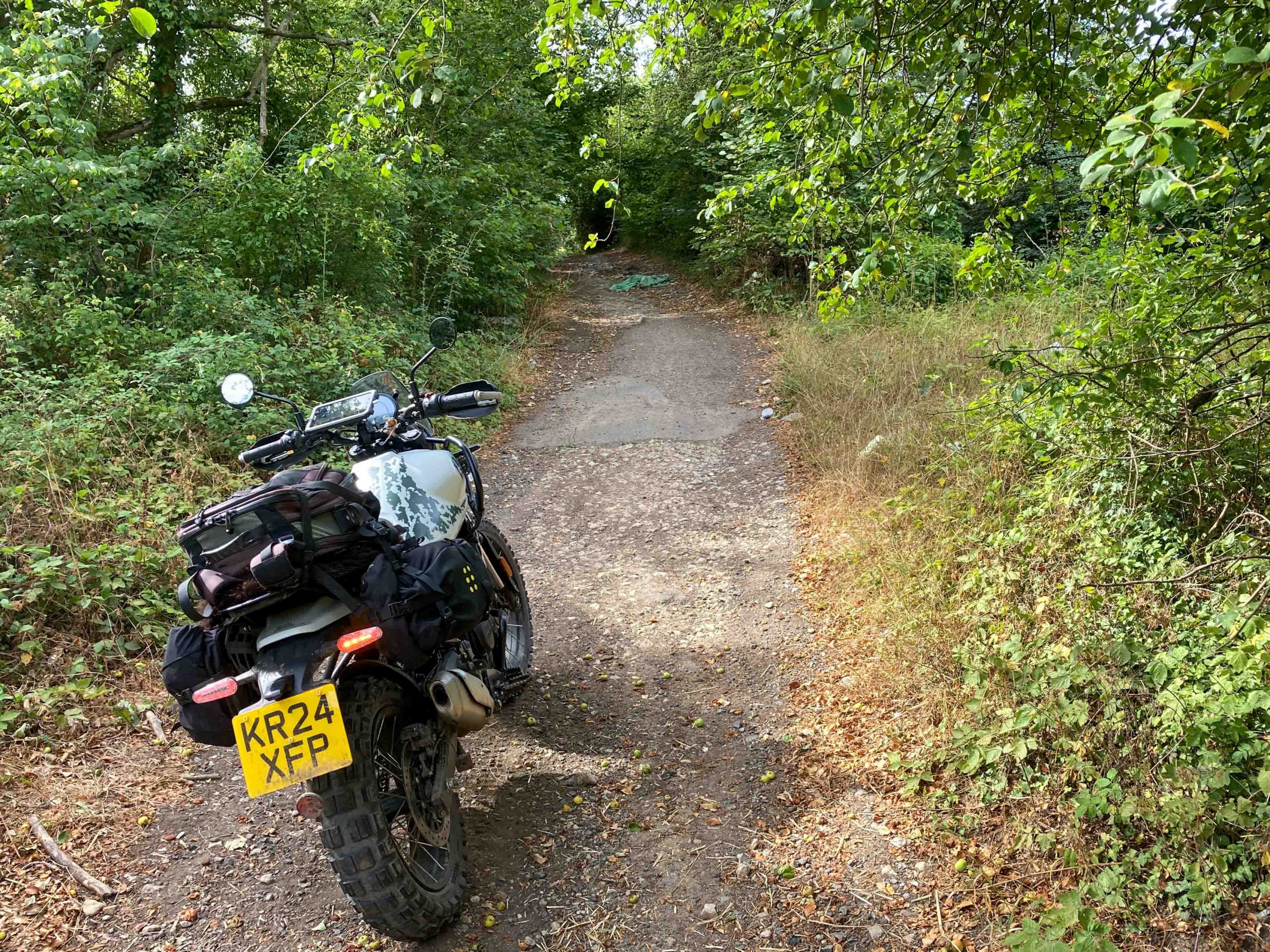
The entry onto the Fosse Way off the A419 is perfectly concealed in the bushes, but immediately reveals a calm, relaxing world beyond (lost on the fly tippers, of course)
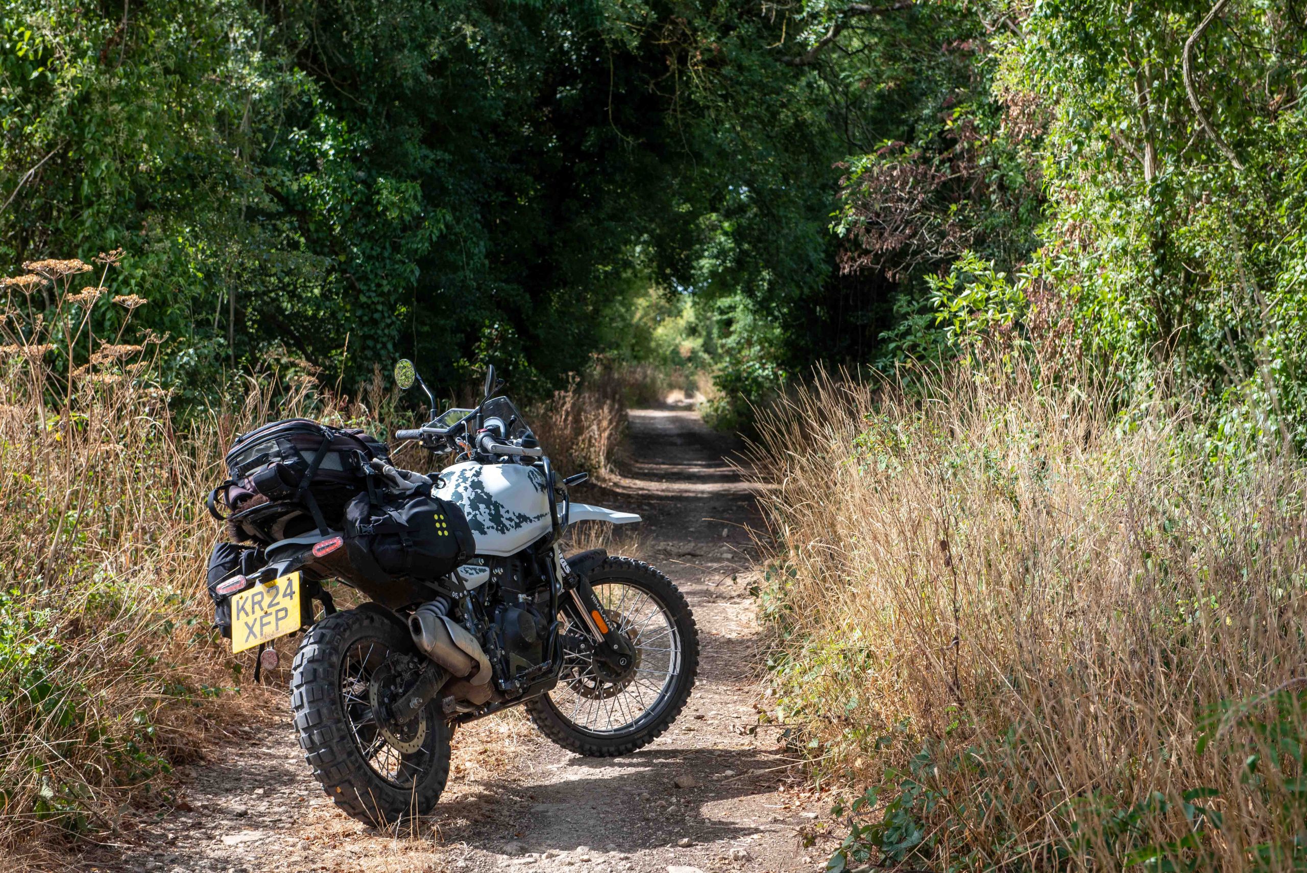
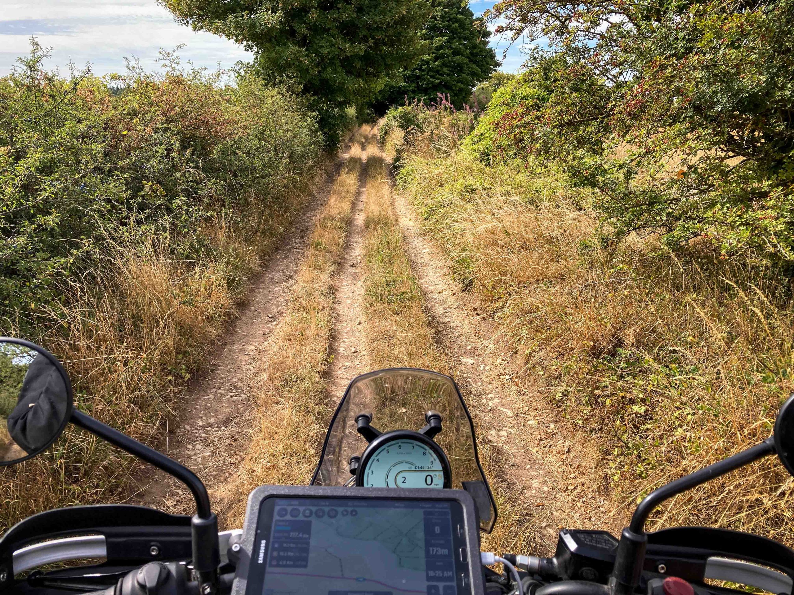
I met no one for miles as the Himi and I gently trundled south, just loving the gentle nature of this route (after the all-action Sarn Helen)
Simply lovely, as Max would say
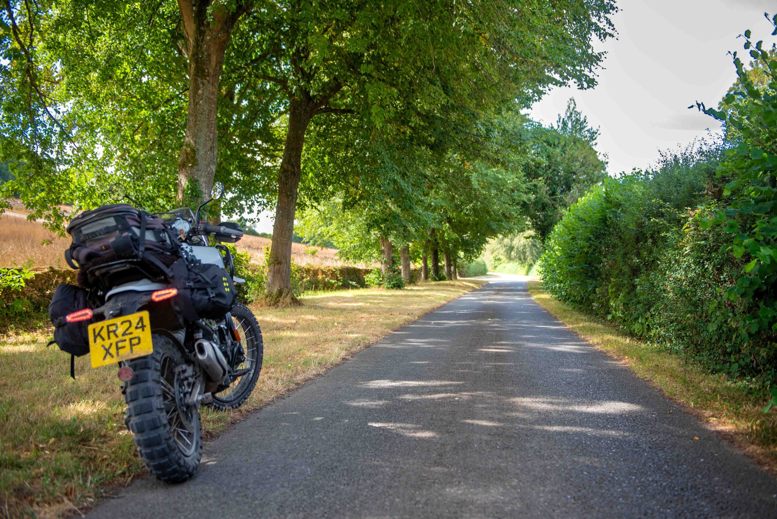
Even the road sections are stunning
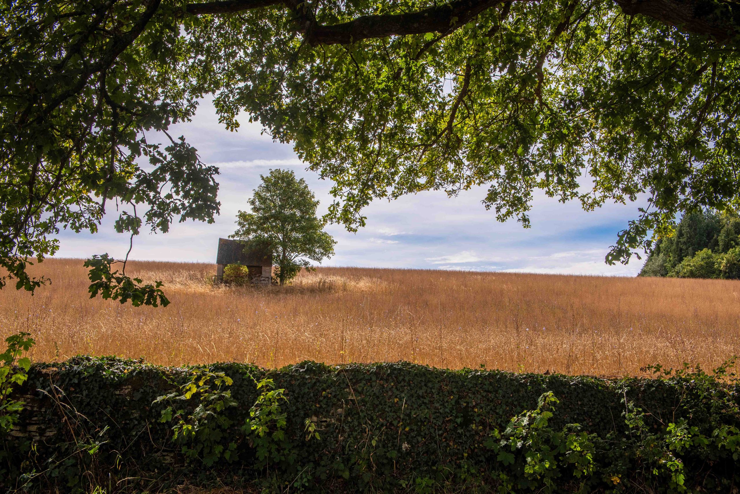
It's the views that make the ride
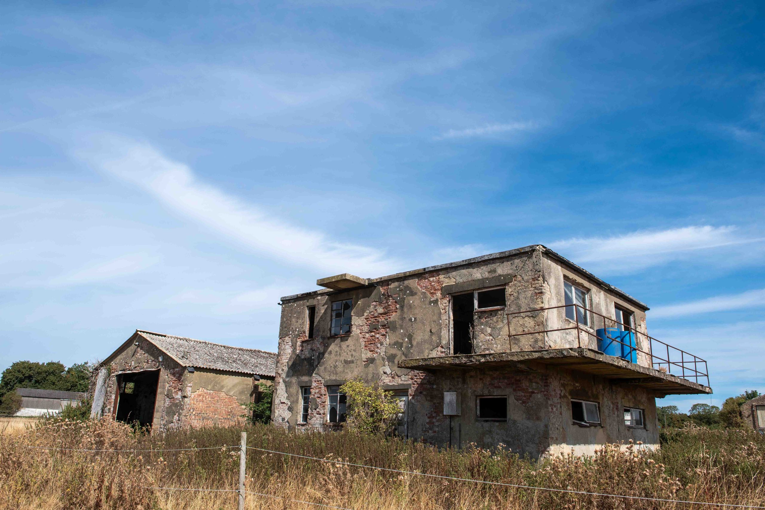
WWII airfield is now an equine centre (do not trespass...)
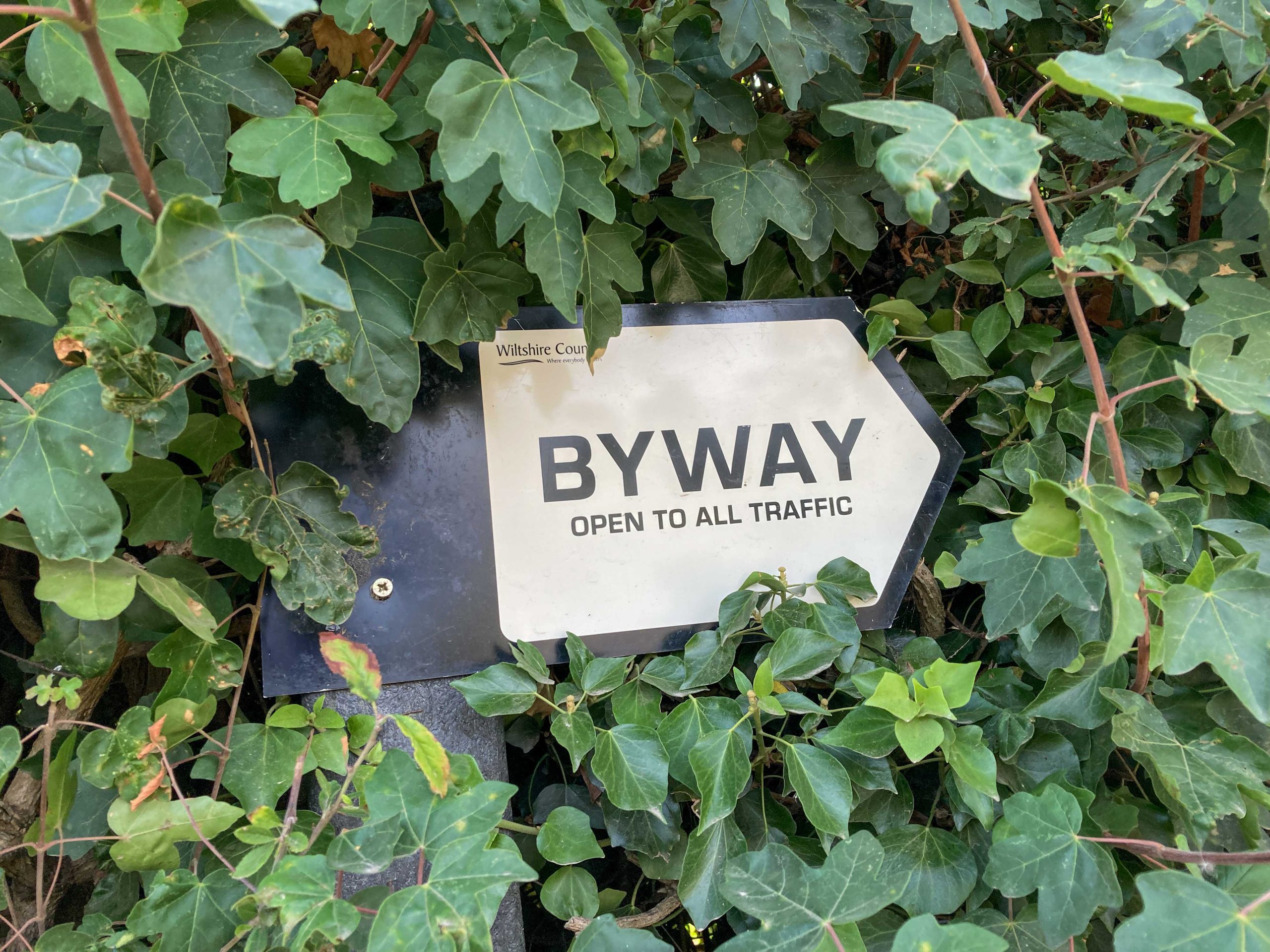
Good signage from Wiltshire Council
Often the centre (TRF) rut/lane is a tricky one to follow, but not this time
The Fabulous Bottoms
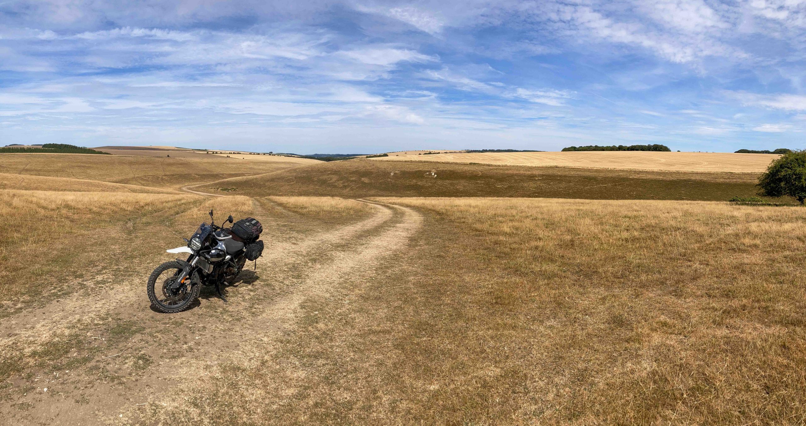
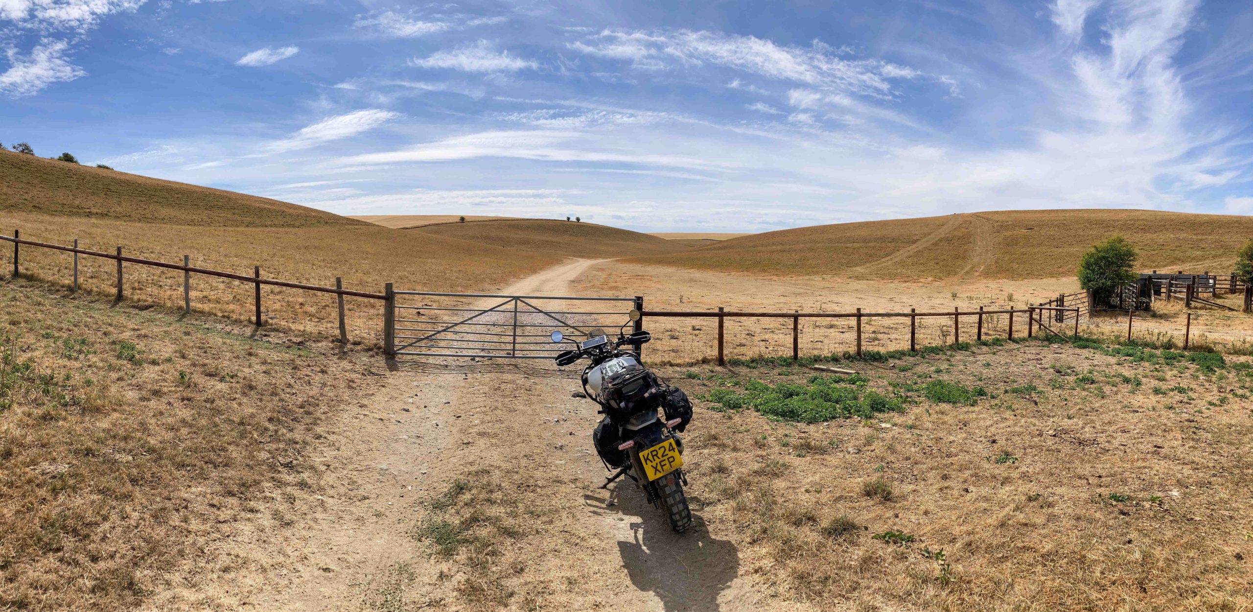
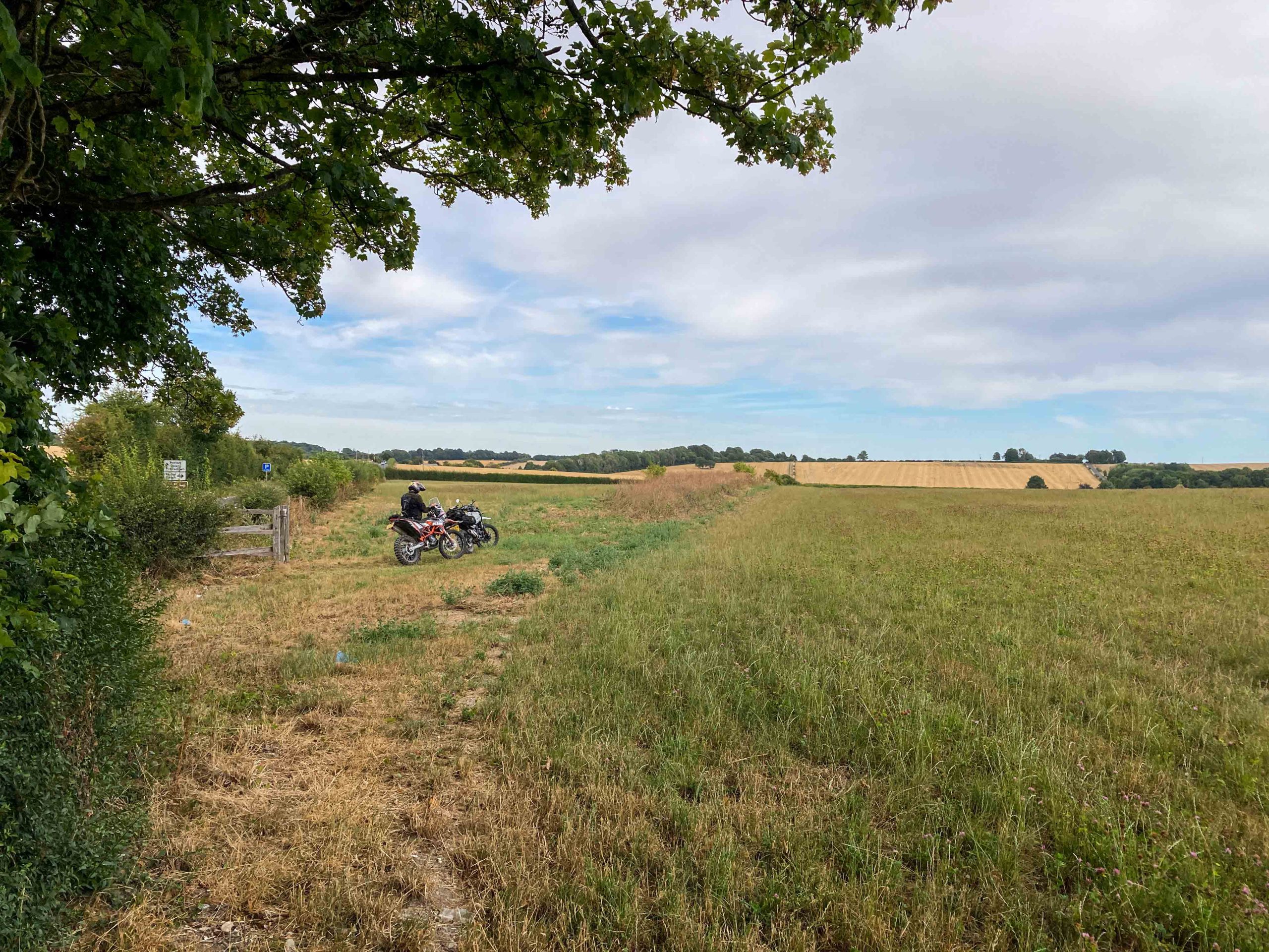
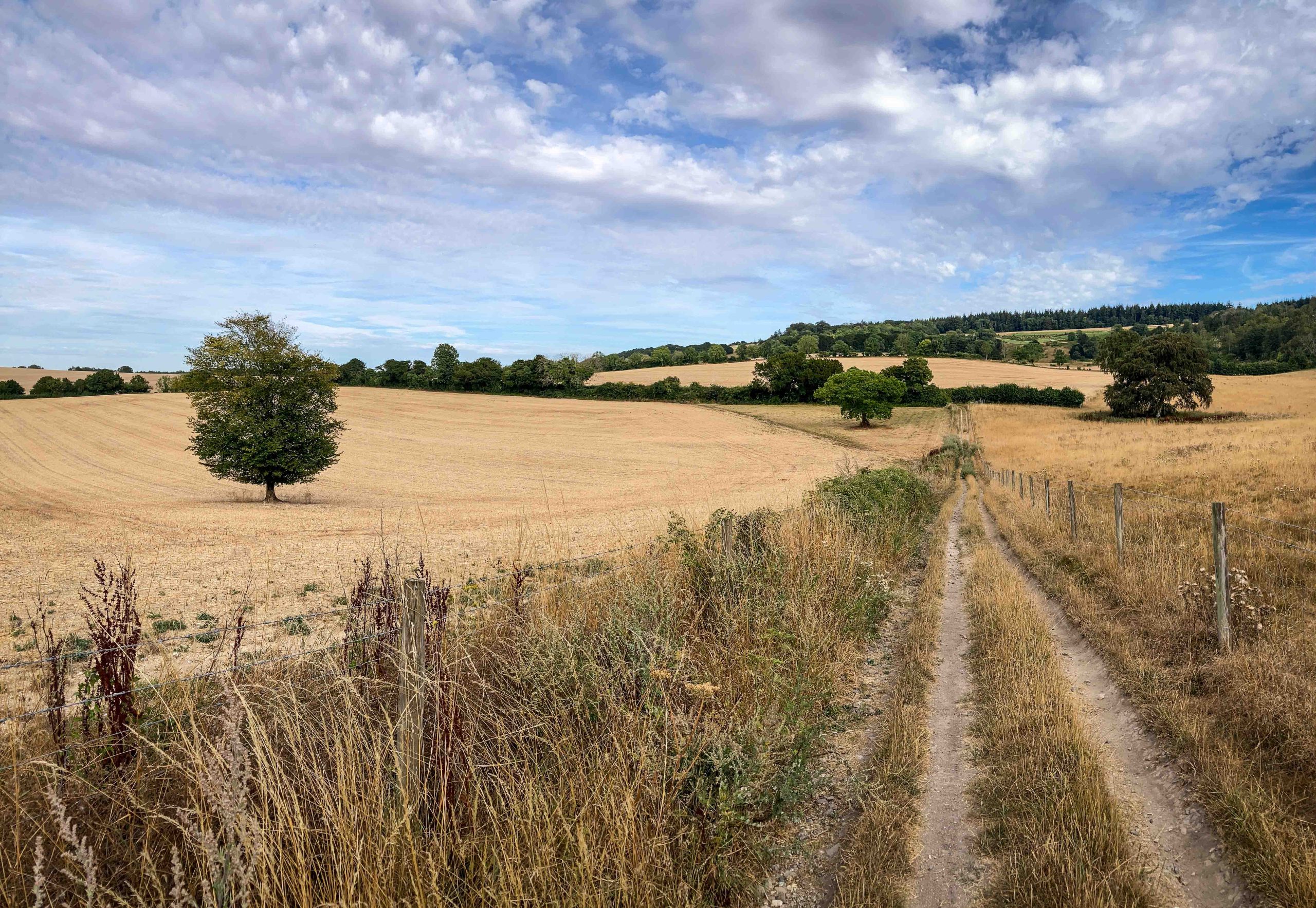
From there we pushed south, on the A350 for the sake of progress, past Trowbridge and Warminster, before taking a turn due-west to ride the Mere Down. Not one of my chosen Roman nor Drover routes, but one that caught the eye as the contours on the OS Map revealed unusual hills with great names: Great Bottom, Danes Bottom, White Sheet Downs and White Sheet Hill. And what a location. Smooth contours and grass lands, only parched to somewhere between ochre and yellow – with only one fenceline on the horizon it looked positively Australian.
It looks stunning, like some Australian outback station, but this is Dorset in the summer of 2026
Looking back over the, er, Bottoms.
Old Shaftesbury Drove
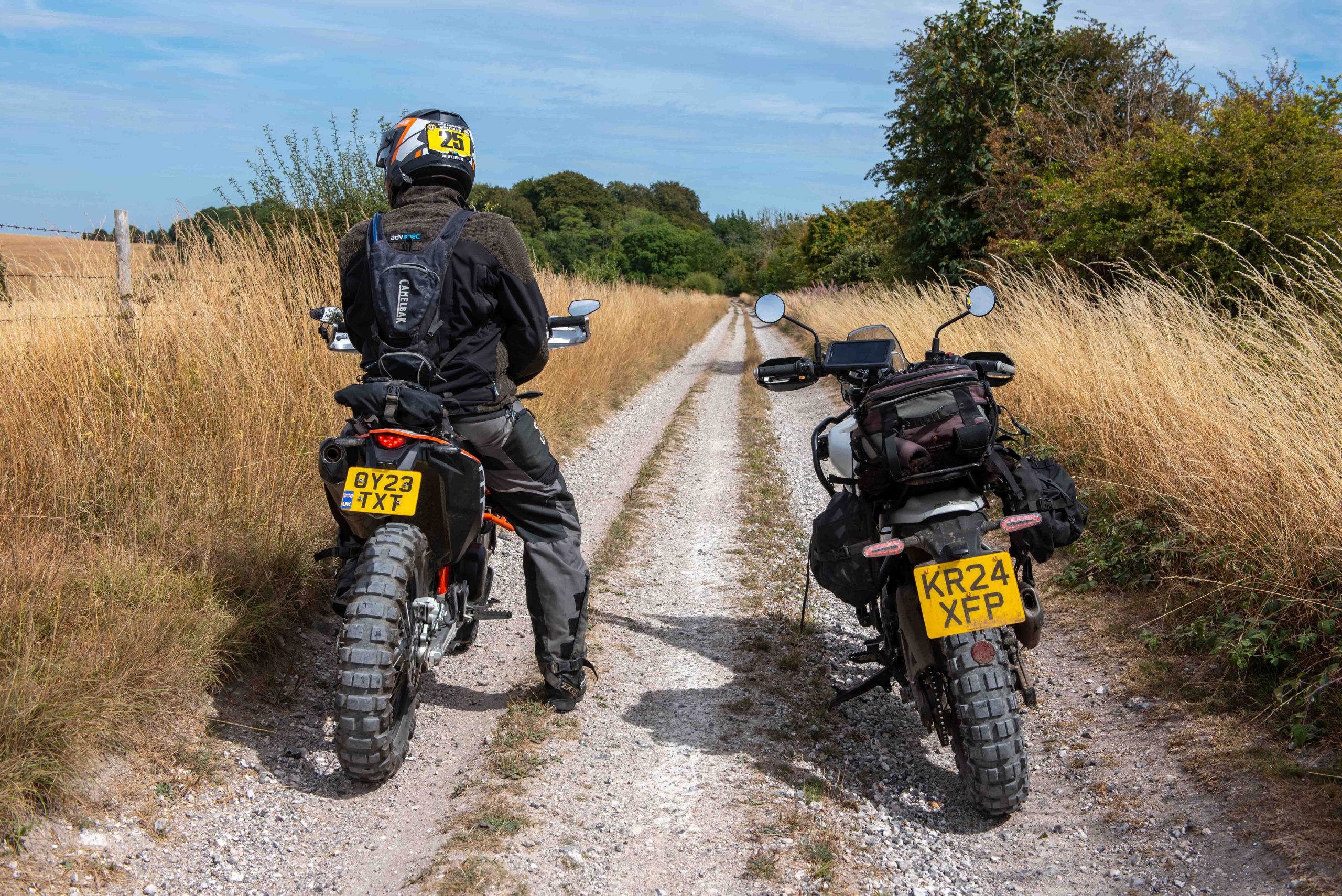
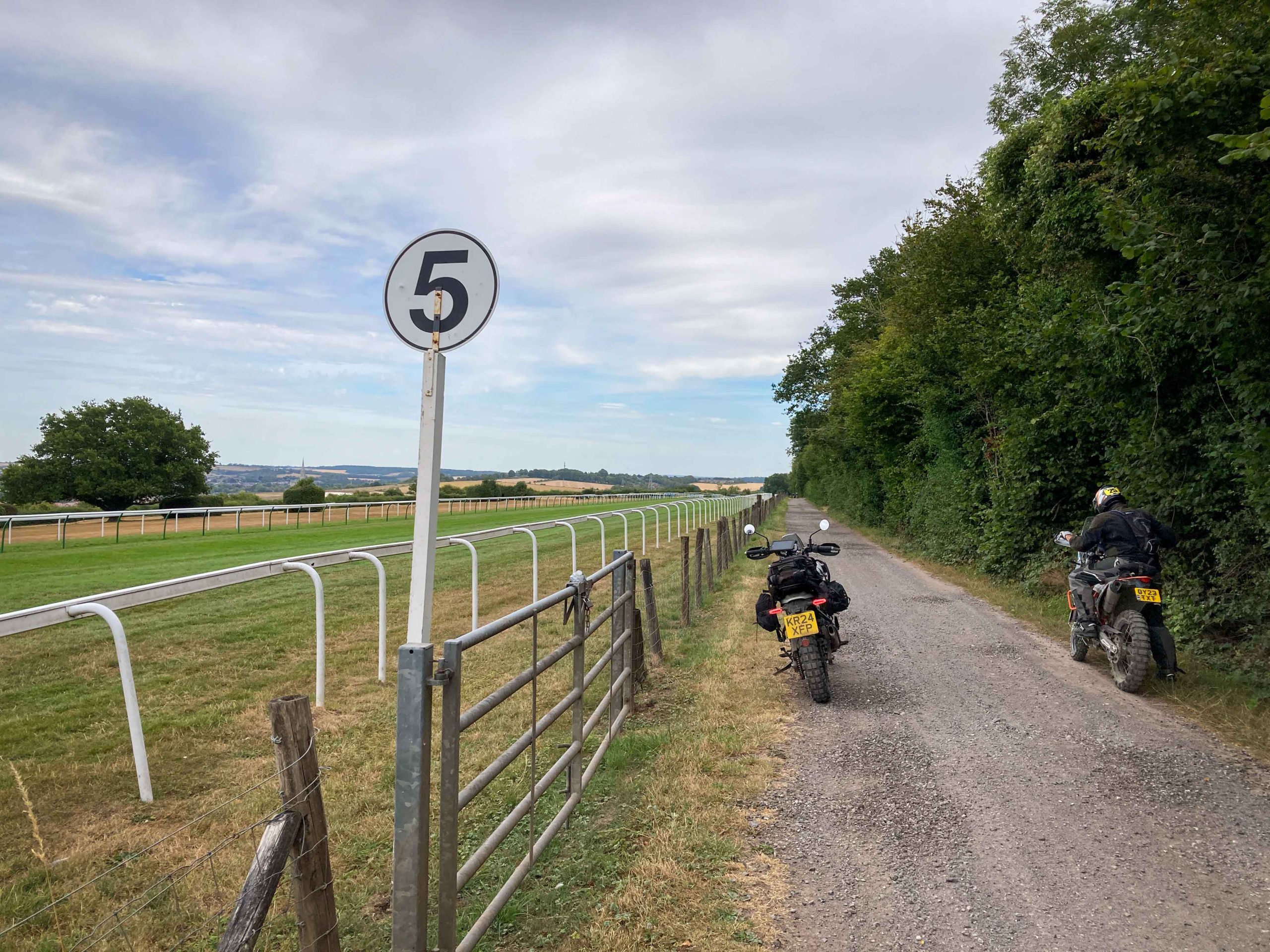
At Gillingham I met with my buddy Jez on his KTM 690 Enduro and together rode the Old Shaftesbury Drove to Salisbury. At White Sheet Hill we found three Kites soaring on the wind rising up the valley (hill lift), quite the sight. Again this was a track that changed character frequently, sometimes riding a fenceline beside open fields, sometimes a track through woods, and near the end alongside a horse racecourse. It was a neat ride, but so far the fourth best – maybe the Ox Drove that runs the south side of these downs is more engaging?
That's Jez on his KTM at the western end of the Old Shaftesbury Drove. Still wearing his competition number from the Witley 100 LDT last year (when he beat me...)
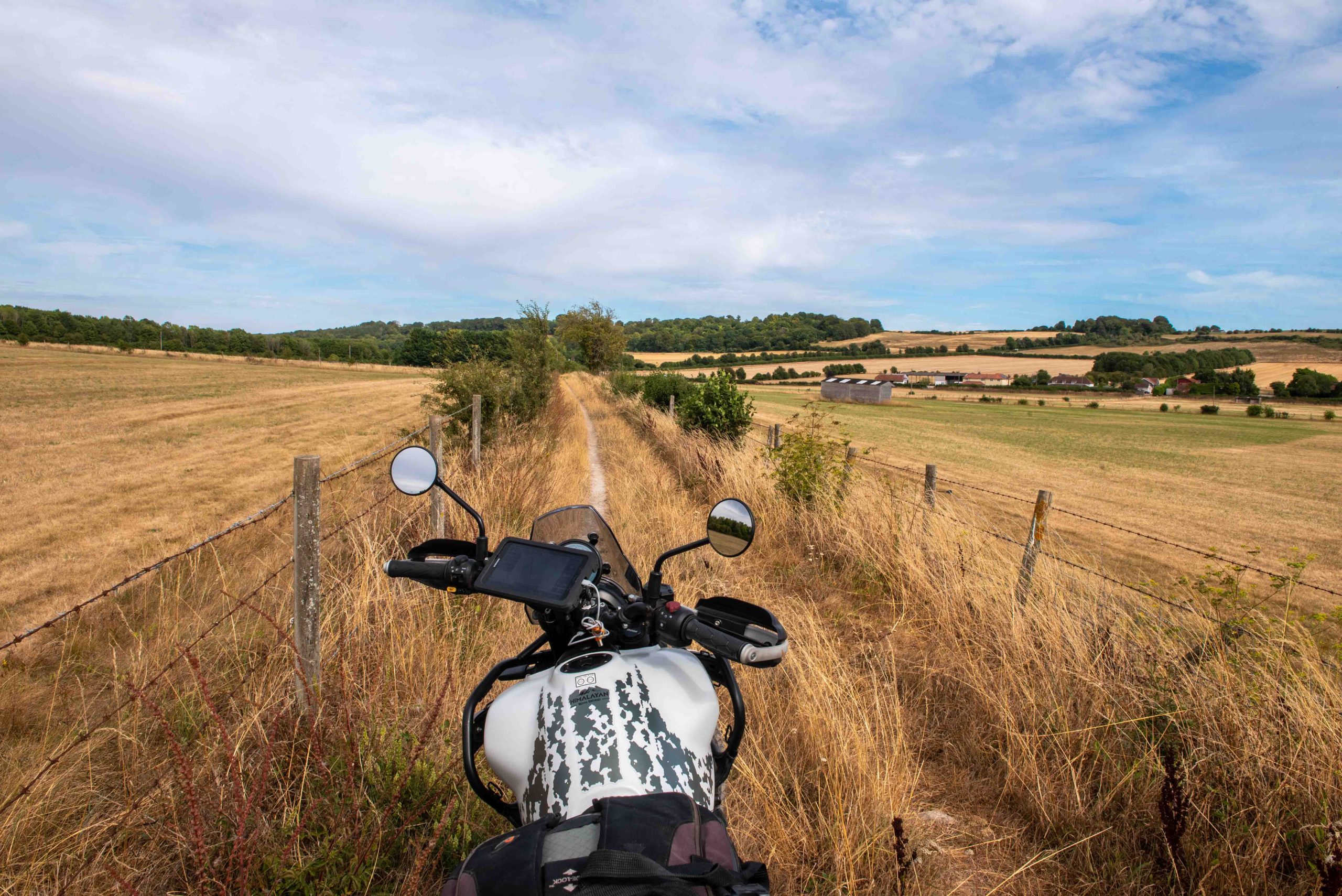
The Drove takes many forms, sometime surfaced, sometimes through woods, but always following the line of the ridge as it heads from Shaftesbury to Salisbury
The resident at No.3 The Drove, lamenting the lack of mud
The Salisbury Racecourse just before the end of the Drove – obviously we should ride quietly and slowly here
Old Sarum to Winchester Roman Road
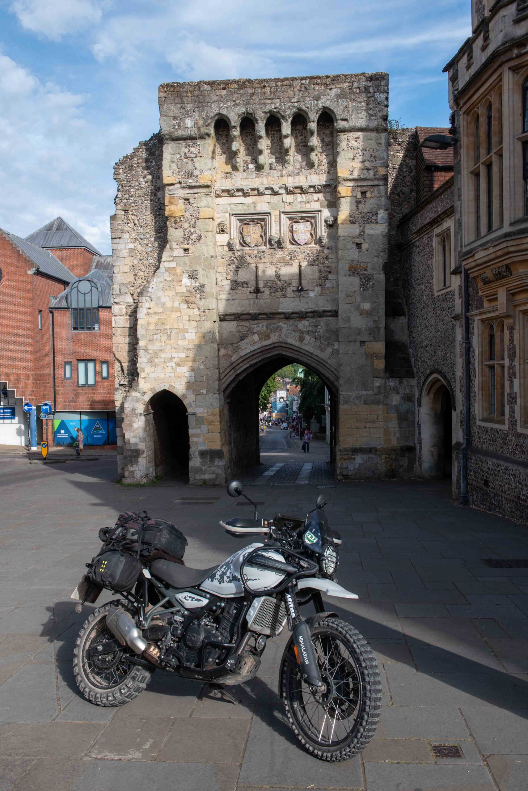
The next track, the Old Sarum to Winchester Roman road was a belter. You can’t ride the whole length as housing estates and other urban intrusions ask for go-arounds, but the track was fascinating, again sometimes a single track across fields, then a nadgery meander through a wood, then a tarmac’d avenue. Always changing, up and down the contours but again faithfully direct, leading us to Winchester’s West Gate, a 12th century (not Roman) fortification.
The entry point to the Old Sarum road is a tricky one off the busy A30, so take care, you can see the track heading over the hills centre of this shot
The track follows pretty faithfully the Roman road ethic of the straight line, today we can't follow it exactly its whole length as urban development and changing access rights mean you'll have some 'go-arounds'
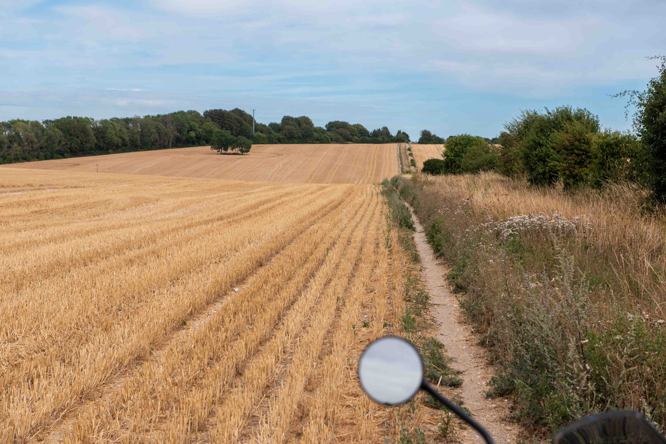
Arrow straight again, this is in fact the edge of the field, the byway itself is buried in the long grass to the right
It's a glorious ride along gently rolling hills
You can't go wrong, just keep going straight until... (next image) you reach the West Gate in Winchester – not Roman but part of the 12th century city wall and natural terminus for the Old Sarum road
Into Hampshire… then motorways to the Pilgrims’ Way
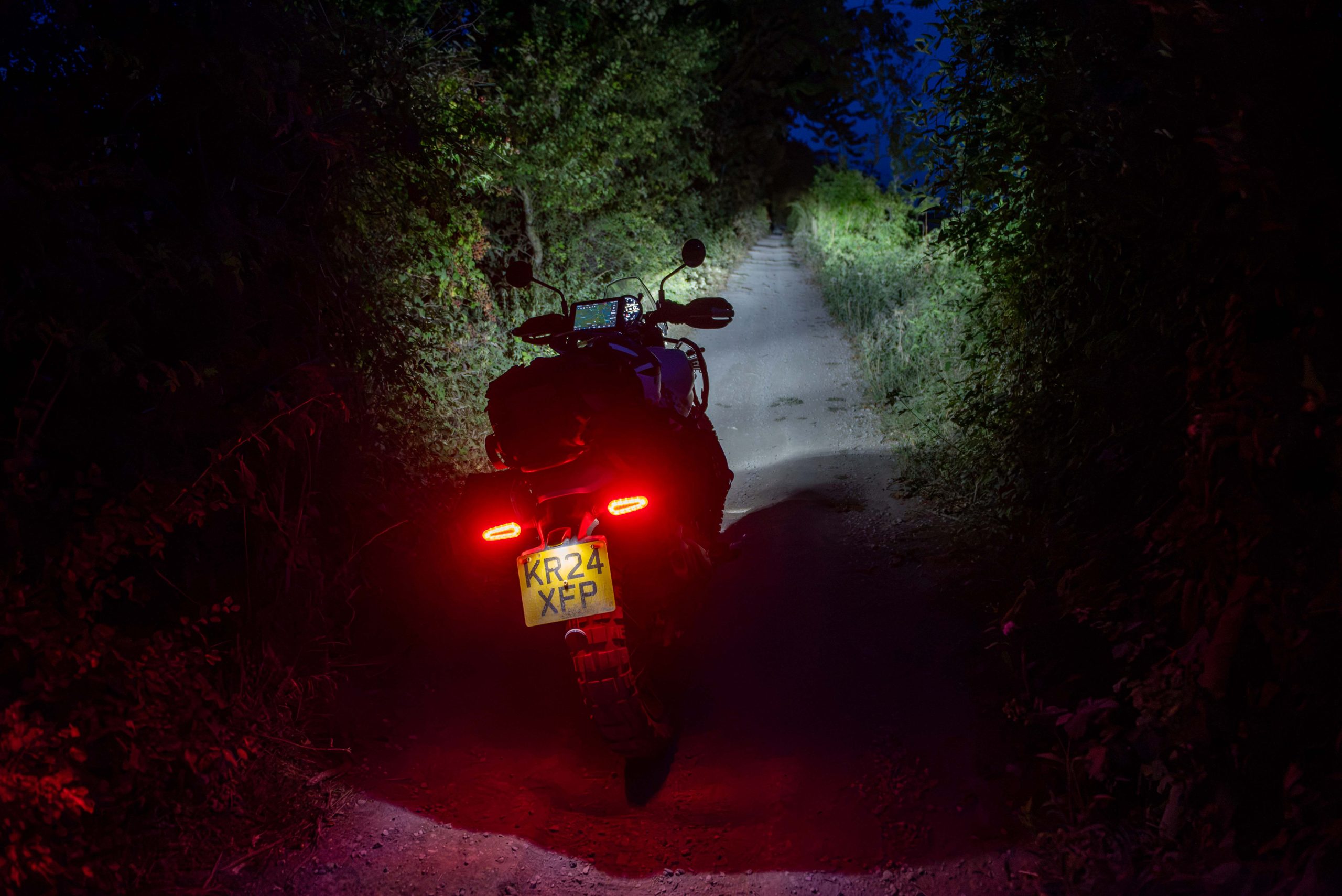
Leaving Winchester we were in Hampshire and rode a succession of tracks that lead north-east between the M3 and A31 – more time consuming but more interesting, and empty save for a deer, a squirrel, 30-odd young pheasants, two yobs – no-crash helmets – on unsilenced unlicenced pit bikes and a young family in a Discovery. Reaching the Hook junction on the M3 at 7:30 Jez turned for home in Reading, while I rode motorway for the first time, going M3, M25, M26, M20 into Kent, finally hopping off at Hollingbourne in time to catch the central section of the Pilgrim’s Way. By now it was 9:30 and of course dark. Knowing this track well, there’s little to worry a rider even in the dark and as it goes the Himi’s LED headlight is very good. In fact night riding trails could be a thing, something I know a few mountain bikers enjoy. But mindful of the time – not the noise, as the Himi is very well silenced and on barely quarter throttle the tyres were making more noise than the exhaust – I turned off at Charing and used the black top again for the last miles home, arriving at 10:30, just 17 and some hours after setting off.
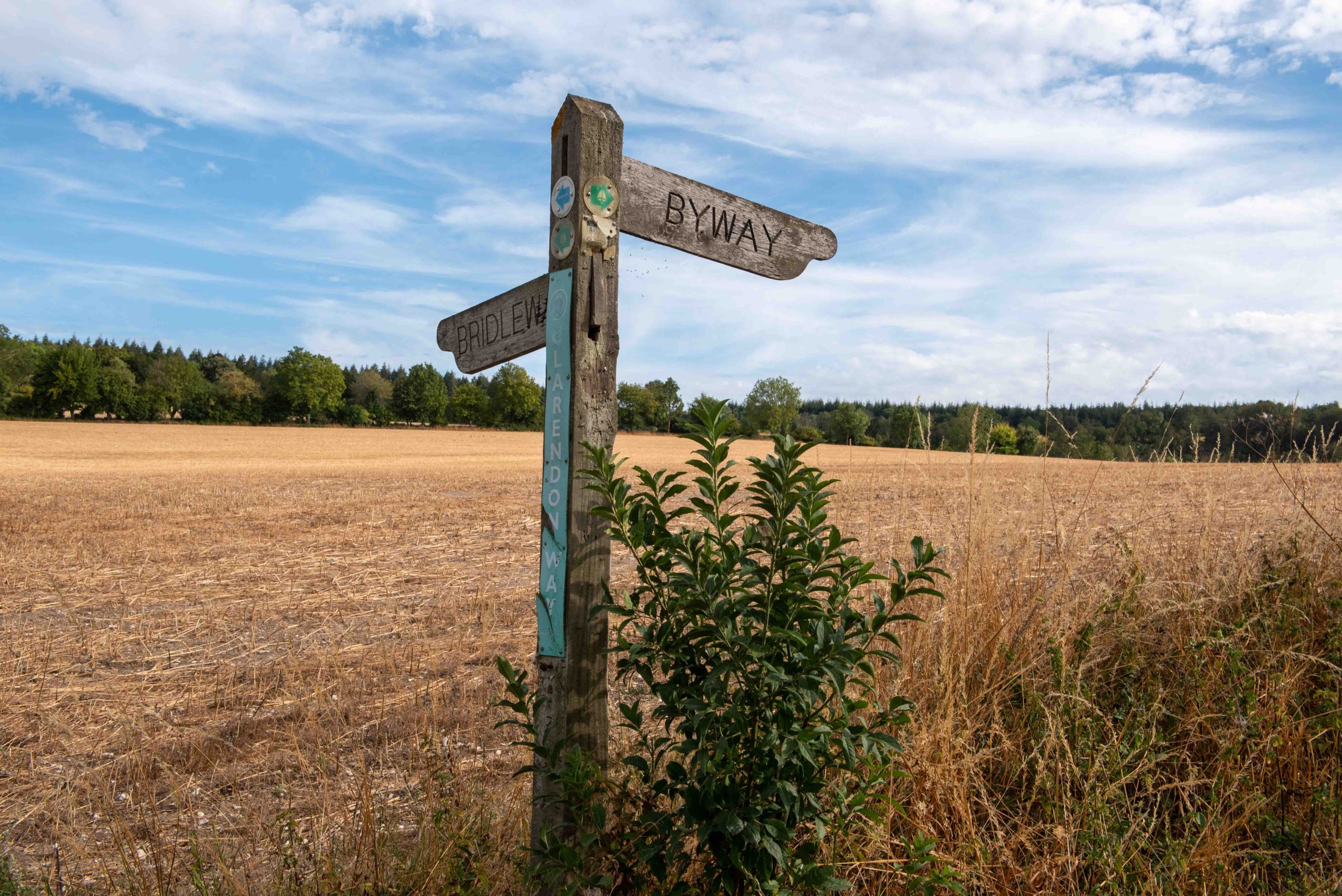
Loving the RoW signage in Hampshire
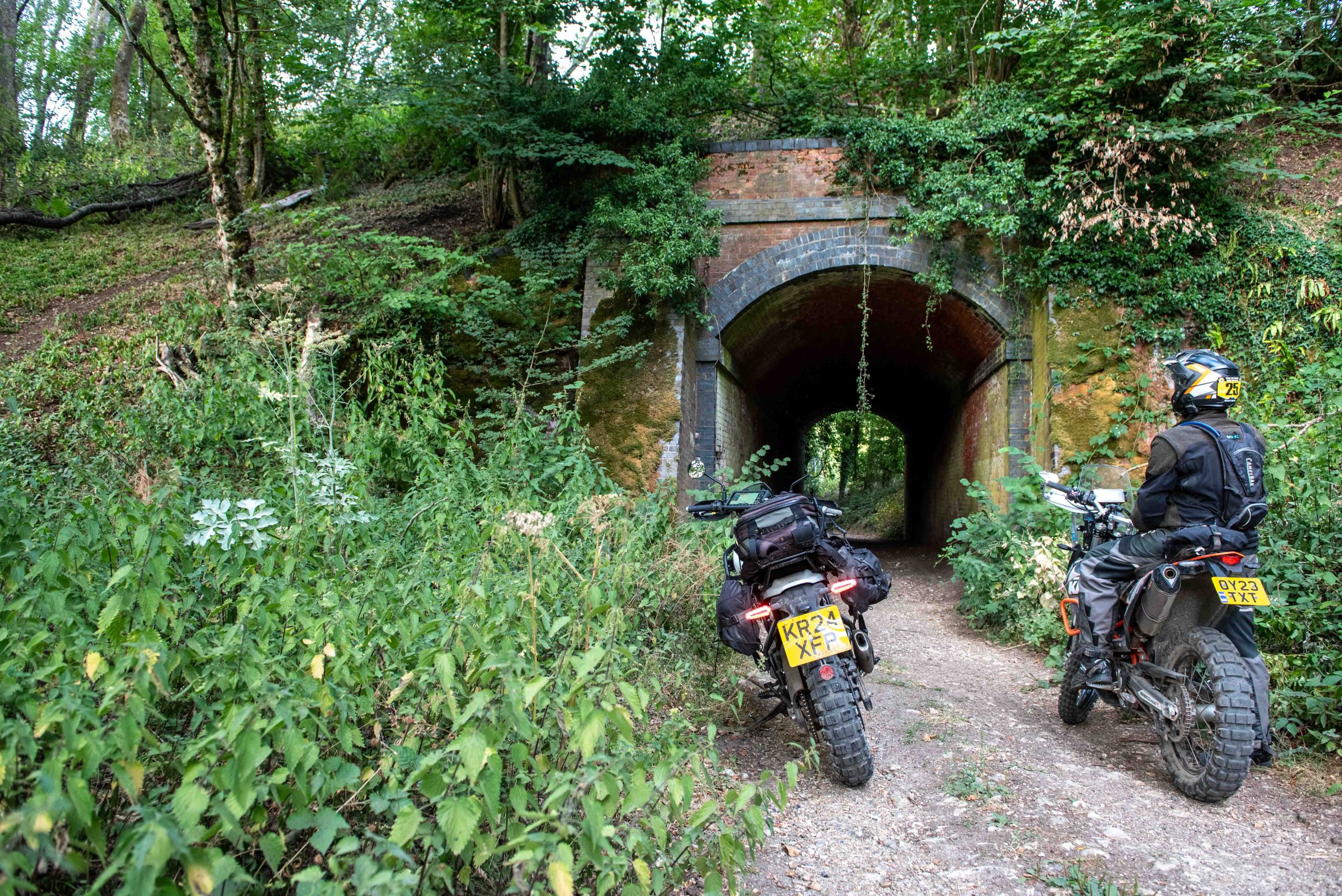
The railway long gone, but the tunnel under the embankment is still here
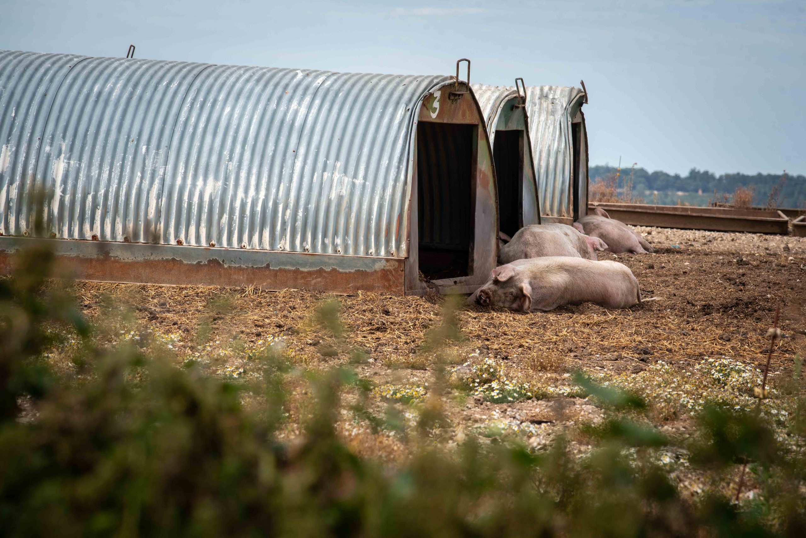
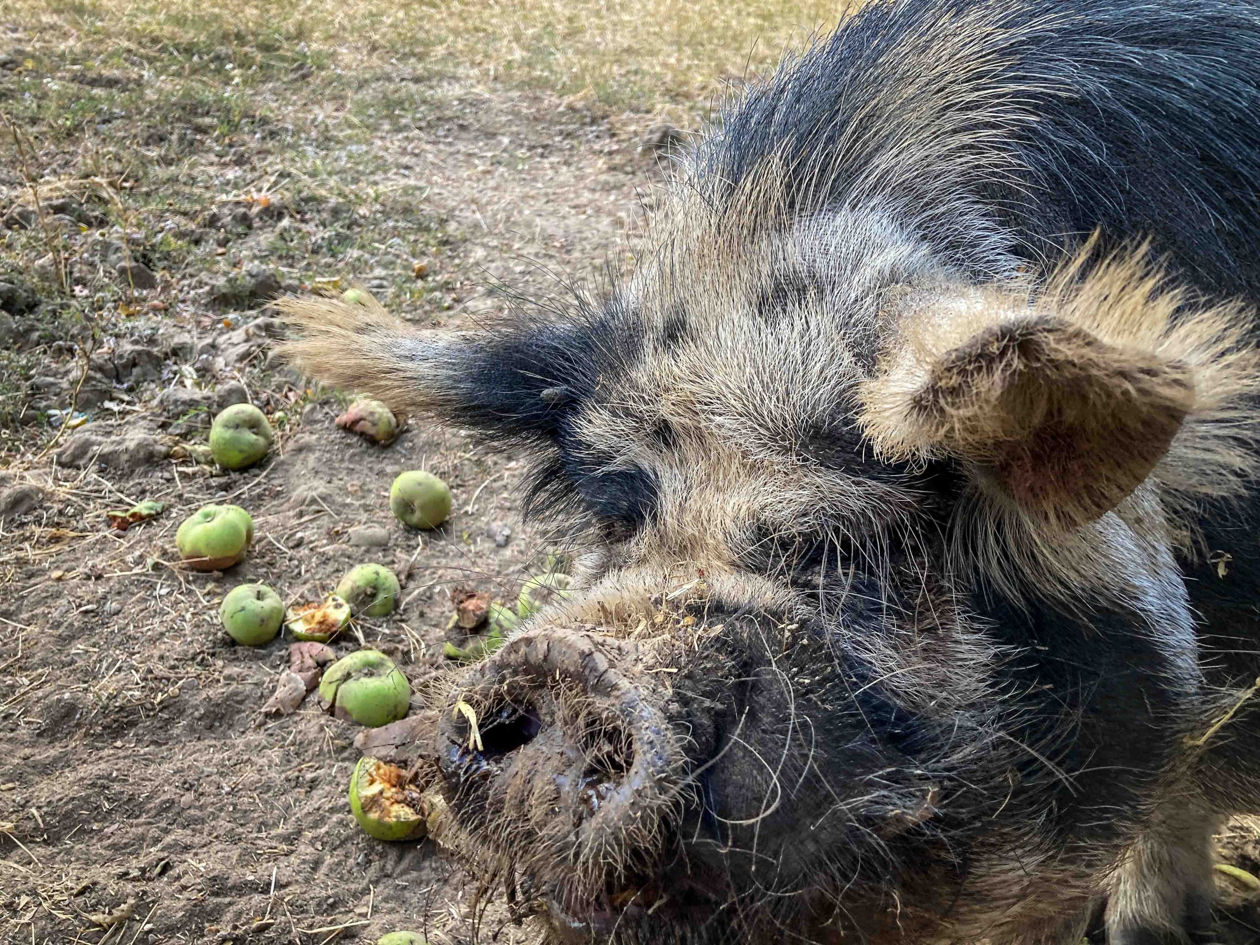
The Hampshire leg ended at the Hook interchange on the M3 where we found this pig by the gate of a field happily munching rotting apples
Last leg, in the dark, on the Pilgrims' Way heading toward Charing
Mission accomplished
The Himi didn’t miss a beat, dealing confidently with the technical challenges of the Welsh trail, while cruising easily through the easier English routes, and comfortably dealing with all the liaisons in between, all while turning anything between 80 and 90mpg. Along the way we’d seen so much spectacular scenery, while disturbing no one, keeping to the TRF code of conduct on the trails and responsibly dropping to walking pace when meeting walkers, cyclists and horse riders.
And what a wonderful way to get a summer’s snapshot of rural England and Wales in one day. Never rushed, knowing that it would be a long-long day, in fact 17 and a half hours, so taking the breaks, and stopping frequently to absorb the scenery. And given the Himi’s fuel frugality done for under £40.
The Himalayan
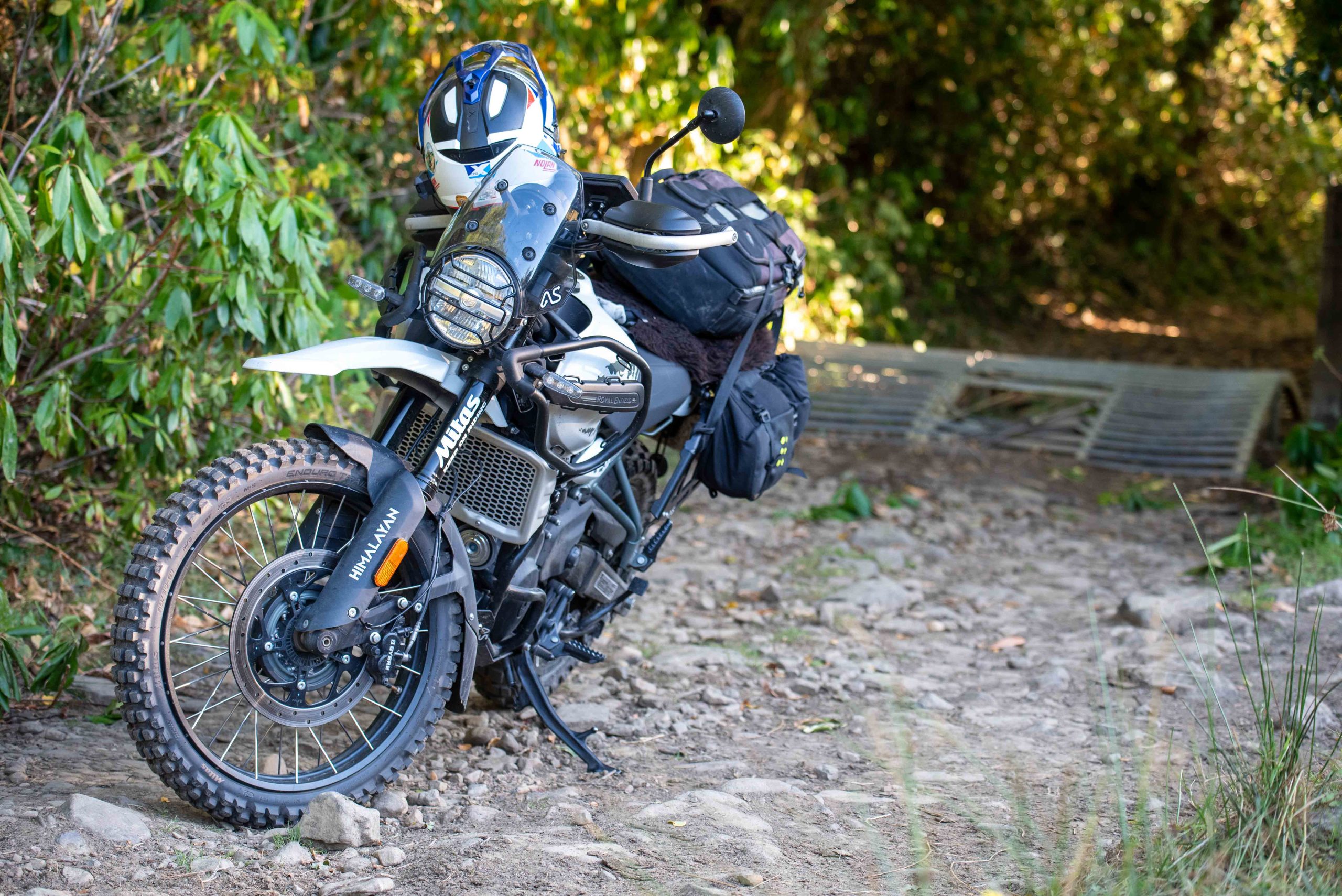
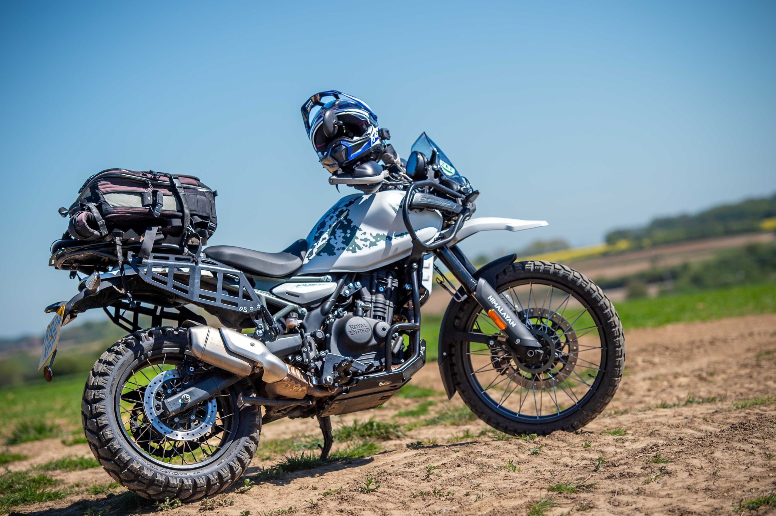
It’s a 2024 model, with nearly 5000 miles done. Tyres now are the excellent Mitas Enduro Trail XT+ which are working well both on track and on the road. Protection comes from a sump plate and engine bars by Adventure Spec. Luggage is secured on Adventure Spec’s tail rack and side racks. The fit and finish on all the Adventure Spec hardware is impressive and fitted exactly. Luggage was a pair of Kriega OS12s, which stored both tools (minimised thanks to the tubeless wheels/tyres) and clothes. The camera bag rested on the pillion seat and rack. Navigation was by DMD2 app on a Samsung Active Tab 2, powered off a USB-C port on the handlebars. The latest addition has been Royal Enfield’s own comfort seat, with gel inserts (£119).
Trail riding terminology
The world of Trail Riding and Green Roads has a bewildering array of terms here are some references to get your head around