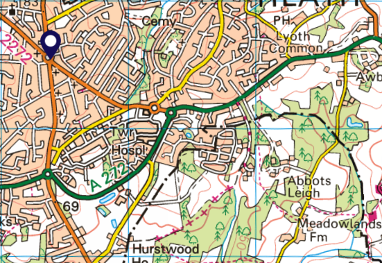
Colwel Lane is shown as an ORPA, White Road, BOAT and Path. The road was recorded as a County Road in both East Sussex and West Sussex. Boundary changes between the Counties resulted in part of the road being additionally recorded as a RUPP in East Sussex. The RUPP section was then reclassified as BOAT in 1971.
The entire road is legal and named as Colwel Lane on highway records. The section shown as ORPA is tarmac, whilst the remainder is mostly unsealed Green Road. OS does not reflect that legality and infers that the BOAT is isolated by sections of (illegal for MPV) path (shown as dashed black line).
With the GRM
OS four statuses could usefully be replaced with one status – Green Road. Note that the road is subject of a seasonal 4×4 TRO but the signage is poor and has deterred Trail Riders. The GRM asserts motorcycle legality meaning riders can feel confident to enjoy it.
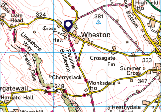
The road has red diamonds, is named as a bridleway and is in fact a Byway. The road was left off the definitive map on the basis that it is a carriageway forming part of the ordinary road network i.e. it was (and still is) a carriageway mainly used by the public for the purposes of carriageway. But OS dilutes that status by showing it as a bridlepath and to invite the risk of conflict between lawful users by inferring that Trail Riding is unlawful. That is also exacerbated by on-site signage that only shows it as “Pennine Bridleway
With the GRM
The GRM would assert motorcycle rights. The TRF Members version holds additional information as to status. Note: the road has been recorded as BOAT and mapped as such on more recent OS (though still described as “Pennine Bridleway”).
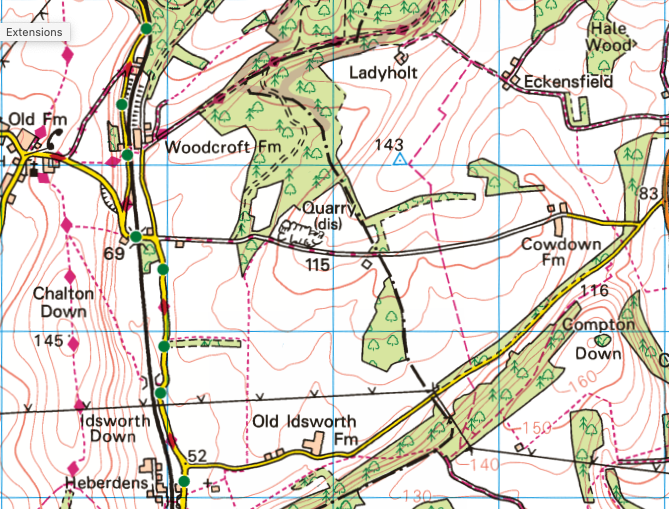
Inconsistent presentation of a road inferring that highway rights do not exist. Half ORPA, half White Road. The inference is that public highway rights do not exist on the White Road. The entire highway was recorded as a County Road and is left off the definitive map on the basis that it is an ordinary road.
With the GRM
The GRM asserts the roads legality for motorcycles. The TRF members version provides additional information of the County Road name, history re obstruction and signage, and information as to Trail Riding.
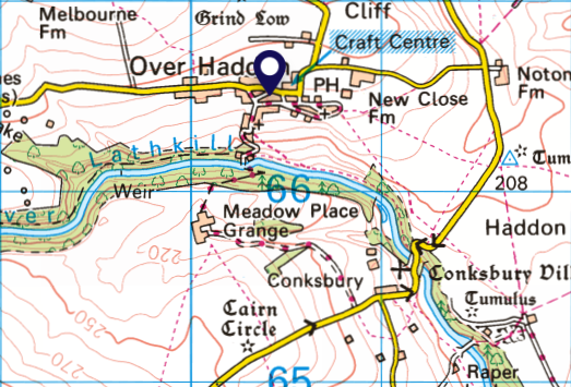
Inferring a road is legal where its status is in significant dispute, Road shown as ORPA where its historic origin is as an inclosure awarded bridlepath. The TRF does not have sufficient evidence to prove carriageway status.
With the GRM
The GRM does not show the road, providing the public with certainty that TRF has not deemed it to satisfy the its criteria for inclusion.
The BOAT half of the road is subject of a permit TRO however OS mapping does not convey this information. The road has some fragile sections where the TRF recommends use of low impact tyres.
With the GRM
The road is shown as partial access on GRM. Additional information is provided as to sustainability and / or to convey that the through route is only available subject to permit.
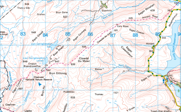
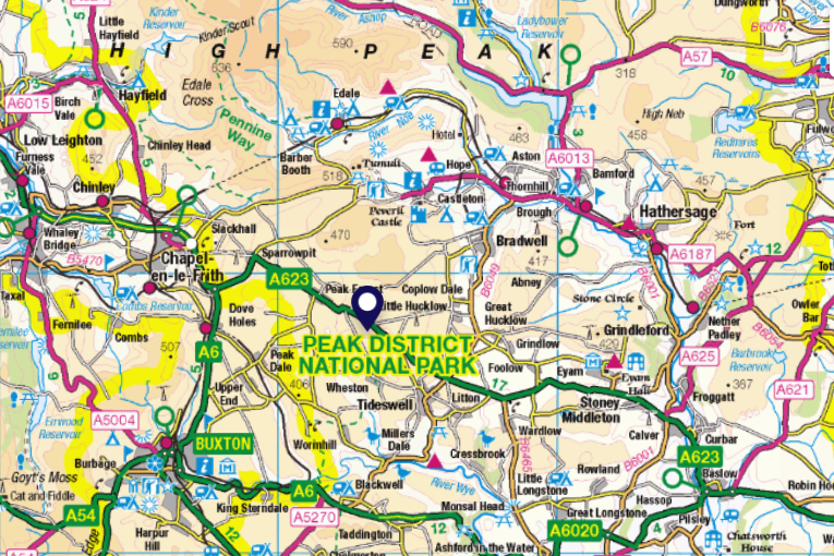
Peak District National Park Authority (PDNP) claimed that there were 300 lanes in the PDNP in 2013/14 as part of their programme of damaging the special qualities of the PDNP with unjust TRO’s. At the time the TRF had no effective tool to counter the lie. By NERC 4, the TRF had the data required to counter PDNP claim. The TRF did so in representations to the House of Lords.
With the GRM
The data stored in the GRM enables detailed analysis on a number of levels to reveal valuable insight into the Green Road Network in England & Wales.
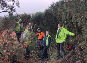
Every year the TRF is involved in conservation projects that help maintain the Green Road Network for all users to explore and enjoy…
A short history of public mapping and how it has impacted the status and reputation of Green Roads and the publics ability to use them…
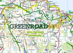
The Green Road Map is a ground breaking public access project to safeguard access for all users of this unique and special public assett…
Trail Riders Fellowship
Registered in England and
Wales No. 05848933
218 Strand London WC2R 1AT