Northhumberland double success
Respected Countryside access advocate Alan Kind explains the role of historical maps in a case with Northumberland Country Council and the Secretary of State.

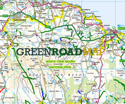
Up in the wilds of central Northumberland there is a pattern of very nice unsealed unclassified roads. These are now being subjected to Northumberland County Council’s long-running policy of making orders to add these to the definitive map, mostly as Byways Open To All Traffic (BOATs), to ‘establish what public rights there are.’ A laudable aim, but these roads are on the OS map as Other Route With Public Access (OPRA), and there is seldom any dispute about status requiring resolution. A cynic might think that these orders are a nice work-creation scheme in an era of council job losses … but I couldn’t possibly comment.
Two of these unsealed public roads are near the hamlet of Old Bewick and the farmstead of New Bewick (that is Bewick as in Thomas, the engraver, and not Berwick as in Tweed). NCC made orders to add each of these as a BOAT, and both received objections (without any particular evidential merit) causing both orders to go to the Secretary of State to be determined by way of written representations. The TRF was not involved at this stage and, to a degree, why should it be? NCC wanted to make the orders, and so you would reasonably expect NCC to have done thorough research and to present the case for the orders forcefully. Sadly, no.
The upshot was the the Inspector, Mrs Sue Arnott (for whom I have considerable respect) decided on the historical evidence and legal arguments in front of her that both roads were merely bridleways.
This caused the orders to be modified from BOAT to bridleway, and therefore to be advertised again, allowing a period for fresh objections. Fortunately the TRF picked-up these interim decisions (thanks to the Byways and Bridleways Trust for this) and lodged objections, providing evidence that the true historical status was and is indeed BOAT.
As with most of these cases, they key lies in the detail in the historical documentation, all considered in context, and with an understanding of the relevant law. Northumberland County Council sat on its hands this time and ‘went neutral’, while TRF put in three lengthy submissions, and asked ‘to be heard’ by the Secretary of State, rather than relying on more written representations.
The TRF suggested to the Planning Inspectorate that there was so much similarity between the two cases (not least their proximity) that it would save time if the Inspector would hear them both in one session, and Mrs Arnott went further and opened both hearing simultaneously, so that points common to both need not be made twice – a very good idea in practice.
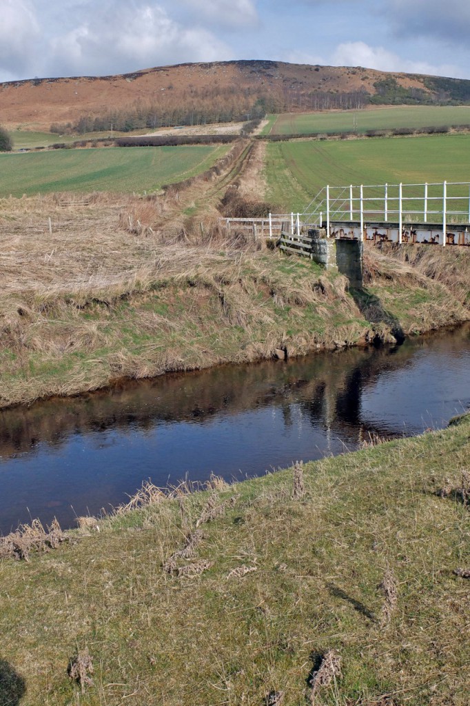
You can read the two final decision letters on the PINS website to get the details of the evidence put in and the legal arguments. Perhaps the single strongest piece of evidence for the New Bewick road came from Armstrong’s Map of Northumberland 1769, which showed a ‘Bridge’ at the crossing of the River Breamish and TRF examination of Armstrong’s map showed only seven other ‘Bridge’ depictions for all of Northumberland, and these all demonstrably on major routes at the time.

For the other road, examination of a sequence of old maps showed the evolution of the Alnwick to Wooler turnpike road, and how the road that now bisects the Bewick Mill to Bewick Folly route ‘came later’ as a ‘new build’ – just go and look at it and you can see that it is not of the same character as the ancient roads hereabouts.
You might wonder why Northumberland County Council, whose order this was, did not themselves do this quite basic research and presentation; perhaps it was as they said at the hearing – they did not really mind whether these roads got put on to the definitive map as BOATs or bridleways.
So there you are. A fair consideration of the evidence and argument by Mrs Arnott, and a good result. The crossing of the River Breamish would need a brave man to tackle the place where the ford used to be, but the other road is firm and quite usable