Councils around the country take varying attitudes towards their Green Road network. Some, such as Devon County Council see them as a resource and invest in their upkeep. Others are somewhat less proactive. In Cumbria, including the Lake District, an area that attracts the full spectrum of outdoor enthusiasts, the authorities understand the importance of maintaining a healthy balance between all Green Road users.
This summer Cumbria TRF member Steve Stout was part of a team of riders tasked with updating the Cumbria Hierarchy of Trails, a unique system that is designed to map and grade the Green Road network in the region. Here's what happened.
The Hierarchy of Trails information that Cumbria TRF developed in partnership with both the Lake District National Park and Cumbria County Council have been a huge success over the years and have helped to bring the relations between trail riders and the ‘establishment’ onto a more positive footing.
In this day and age of computers, internet and all the other electronic gubbings that surround us it has never ceased to amaze me as to how hard it is to find out where it is legal to ride and where it isn’t. There is a balance of protecting the lanes against abuse and the outright stupidity of some people and preserving the lanes for future use by actually using them. One method that was adopted in Cumbria some 10 years ago was the development of the Hierarchy of Trails information.


This consists of a series of PDF map images with all the lanes identified. Alongside these are the Survey Pages, these provide the details of the status of a lane, it’s grid reference and other useful info such as surface, user considerations, such as passes through a farm yard or near to horse stables etc etc. This information is stored on the Cumbria County Council website so is then available for all. For specific lanes like Gatesgarth Pass and a couple of others, the Lake District National Park has a page on its website with relevant information.
The system is by no means foolproof and also takes time to understand, but it provides a simpler system than trawling through the various systems on the internet for a given area. It will be interesting to see whether we can roll this out across the both the Dales and Lakes National Parks when they complete their merger in the near future.
One of the other benefits of this system was the relations and communication that has developed between the TRF group and the various controlling bodies in the county. A lot of this is down to a small team of people in the CTRF who have tirelessly spent their time and effort over many years to promote trail riders as responsible. We all owe a great big thanks to them for their efforts especially with regards to the arrangements for the likes of Gatesgarth Pass etc in the county.
2016 brought about an opportunity to review the information on file as it was nearly 10 years since it was last updated. So a group of CTRF members were offered the chance to get out and survey some lanes and record their findings.
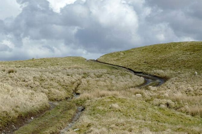
For myself I took a look at the lanes around Brampton, just outside Carlisle. These border Northumberland and Scotland, they are quite different from the normal Lakeland lanes in that they are mostly low level, pass through farmland and are off the beaten track, so not used so much.
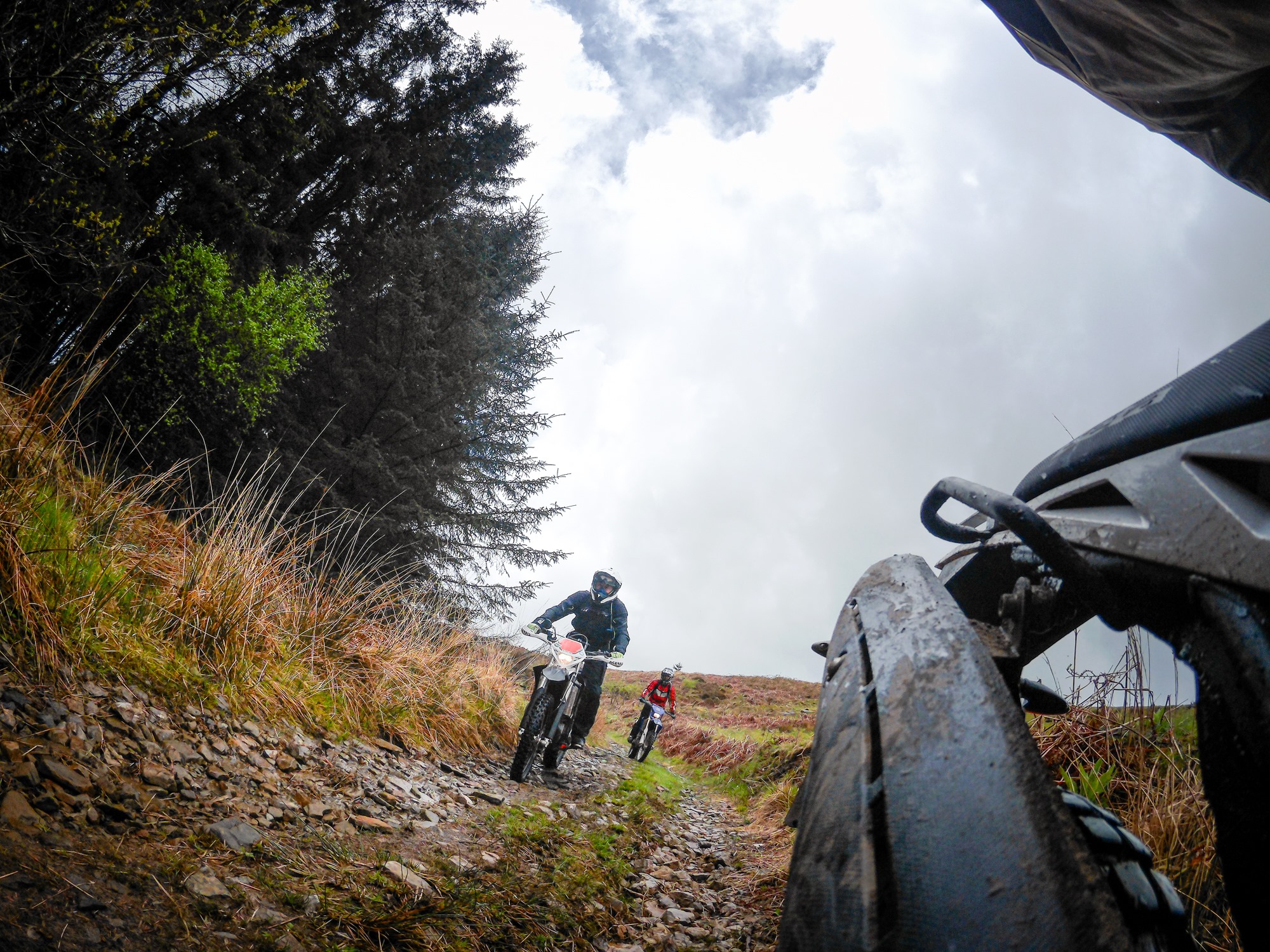
Myself, my partner Lucy and a mate, Nigel, spent four days over a couple of months riding these lanes, some of which I’d obliviously previously ridden past! A little playing with the GPS saw a track created that we could follow. I split the lanes into two sections, North and South. We’d not ridden any of the northern lanes, but some of the southern ones were in our existing store of lanes that we ride regularly which made things easier.
We found some utter gems, beautiful areas and villages, historic places full of stories of the Border Reivers, the Scots, the Romans all surrounded by hidden farms and wild moorland areas, yet all on our doorstep! Lucy has a passion for all things nature and was in her element identifying species and watching the wildlife in all of their different habitats.
As is often the case, we also found some trails blocked for various reasons, a few where nature had started to claim them back due to lack of use and some with manmade fences or ‘stuff’ dumped across them. We had to do a few U turns and find detours, but the riding was always interesting and we were exploring new areas.


Some truly delightful days spent where we would be having a picnic overlooking the Solway and the Cumbrian fells one minute and then fighting through an overgrown tree lined lane the next.
You don’t really need a reason to ride lanes as just riding them is reason enough, but armed with the supporting paperwork and on a mission to uncover their current status does provide both an impetus and confidence when dealing with a land owner or another user who is being a little ‘less positive’ shall we say!
We still have about 3 more lanes to ride to complete that part of the survey, the results will get passed to our RoW officer Steve Pighills who will update the paperwork and submit it all to the council so they can update the info on their website.
I can’t wait for the next time we have to do this again but in the meantime I now have a new area to go a ride in, always a pleasure to find!